What is recorded here
Fairy forts are no such thing. They are human houses, farms, workshops and war camps from before written records. The circle, the bank, the gate gap and the broken pots leave behind a clear shape. People lived there, bred animals, stored food and died there. Forgot names, not life.
In tillage, on E-facing slope. Shown as circular enclosure (diam. c. 40m) on 1842 OS 6-inch map. According to Power (1917, 8)....'a well preserved circular lios of medium size with rampart some six or eight feet high'. According to local information, levelled c. 1972. Low circular rise visible. Gallán (CO053-035---) in same field to NW.
The above description is derived from the published 'Archaeological Inventory of County Cork. Volume 2: East and South Cork' (Dublin: Stationery Office, 1994). In certain instances the entries have been revised and updated in the light of recent research.
Date of upload/revision: 14 January 2009
A fairy fort / earthen ringfort in Ballinlegane is a circular early-medieval defensive or domestic site, likely dating to between the 5th and 10th centuries AD. It is associated with local folklore referring to it as a dwelling place of fairies, a common belief attached to such earthworks in Irish tradition.
The monument record does not grant public access. Check the route and ask the landowner before entering private land.
- What survives
- Recorded monument
Places near here
 IndicatedFairy fort / earthen ringfort · 1187 yd
 Fulacht fia in Ballinlegane (barrymore By.)Fulacht fia · 1234 yd
 Church (in Ruins)Church · 1333 yd
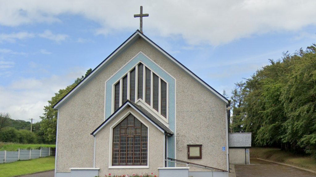
 Watergrasshill Church of Ireland Churchchurch/chapel · 1.5 mi
 Castle (Site of)Castle, unclassified · 1.6 mi
 Graveyard in Killuntin NorthGraveyard · 2.5 mi
 Graveyard in GlenvilleGraveyard · 3.0 mi
 Moanbaun ForestForest · 3.8 mi
 Sarsfields Court (in Ruins)Castle, unclassified · 4.1 mi
 Devonshire's HillMountain / peak · 4.2 mi
 Monananig WoodsWood · 4.5 mi
 Cork WalksVisitor information · 8.4 mi