What is recorded here
Situated on a slight SE-facing slope, in gently undulating pasture, with good views to NE and SE. Annotated 'Fort' on the 1837 OS Fair Plan map and depicted as a roughly circular-shaped earthwork delimited by a bank. Depicted on the revised 1913 ed. OS 25-inch map as a suboval-shaped earthwork. Levelled monument described in 1971 as a subcircular-shaped area (dims. 36.5m N-S; 33m E-W) enclosed by faint traces of a low earthen bank (int. H 0.25m; ext. H 0.3m; overall Wth 5m; Wth at top 1.3m) with traces of an external fosse (overall Wth 4m; basal Wth 1m; D 0.15m). A modern fence running NW-SE skirts the outside of the bank from S-W. The original entrance is not recognisable. Levelled monument is visible today as a subcircular-shaped cropmark on Digital Globe aerial photography.
Compiled by Alison McQueen, Vera Rahilly and Caimin O’Brien.
Date of upload: 06 November 2019
The monument record does not grant public access. Check the route and ask the landowner before entering private land.
- What survives
- Recorded monument
Places near here
 Hut site in BallinlaHut site · 761 yd
 Ecclesiastical site in CrossanstownEcclesiastical site · 828 yd
 23rd Locklock · 1258 yd
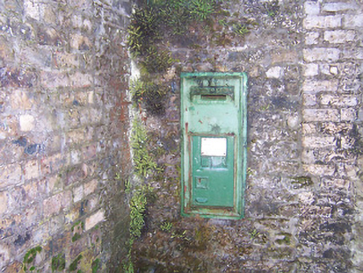 post boxpost box · 1260 yd
 CastleCastle, unclassified · 1.2 mi
 Heathstown CastleCastle, tower house · 1.5 mi
 ScregganWood · 6.8 mi
 Rahin WoodsForest · 7.3 mi
 Croppies' GraveMemorial · 7.4 mi
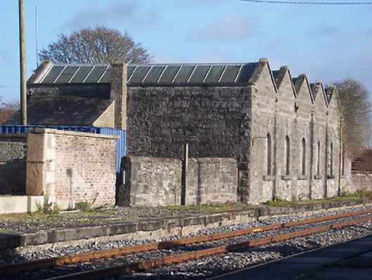 Killucan Railway Stationstore/warehouse · 1266 yd
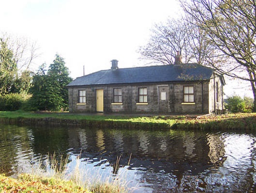 lock keeper's houselock keeper's house · 1297 yd
 EnclosureEnclosure, large enclosure · 1302 yd