What is recorded here
Mortons and Sarsfields lived beside the fort, yet local memory still names it a fairy fort because the circle resists ordinary explanation. The earthen ring stands thirty-nine metres across in Carlow, marked by a bank and ditch that crop growth still reveals. Human hands built it, but the naming suggests people preferred to leave the circle closed rather than claim its purpose.
The following description is derived from the published 'Archaeological Inventory of County Carlow' (Dublin: Stationery Office, 1993). In certain instances the entries have been revised and updated in the light of recent research.
Date of upload/revision: 17 July 2007
Visible as distinct cropmark at ground level. Circular area (diam. 39m N-S) enclosed by partially levelled bank with external fosse.
A fairy fort, or earthen ringfort, in Ballinkillin is a circular earthwork enclosure typical of early-medieval Ireland, likely dating to between the 5th and 10th centuries AD. Local tradition associates such sites with fairy folk, and they were often avoided for fear of disturbance or misfortune.
The monument record does not grant public access. Check the route and ask the landowner before entering private land.
- What survives
- Recorded monument
Places near here
 Saint Lazarian's Catholic Churchchurch/chapel · 345 yd
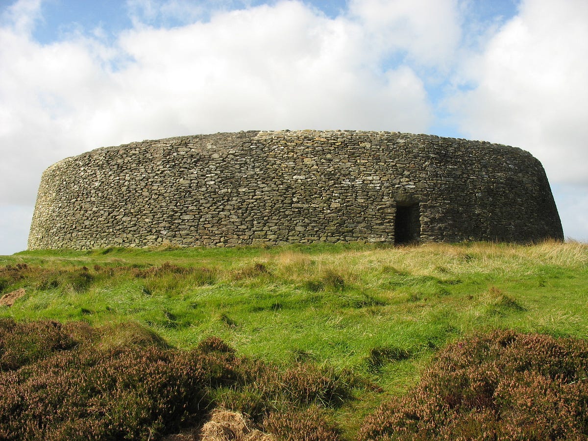 Hillfort in BallinkillinHillfort · 419 yd
 Enclosure in Kilcumney (idrone East By.)Enclosure · 970 yd
 Good Shepherd Church (Lorum)church/chapel · 1410 yd
 Site of CastleCastle, unclassified · 1664 yd
 Ballyloughan Castle (in ruins)Castle, Anglo-Norman masonry castle · 1.9 mi
 Wych ElmWych Elm · 2.9 mi
 Carrig WoodWood · 3.3 mi
 The Columban WayVisitor information · 3.7 mi
 Lock Keeper's House and Lodge MillsVisitor information · 3.9 mi
 Church (in ruins), GraveyardChurch · 4.0 mi
 SlievebawnMountain / peak · 5.0 mi