What is recorded here
No fairy ever danced inside the shallow circular ditch at Ballingowan. A family likely built the earthen ring, entered through its narrow gaps, and left it behind when pasture expanded. The deleted field boundary and new farm track cut across the old design, reducing a lived home to a faint line in grass.
In undulating pasture, on slight NE-facing slope. Circular area (31.2m N-S; 33.95m E-W) enclosed by earthen bank (int. H 0.5m; ext. H 0.95m) ESE->NNW and N->NNE and defined by scarped edge (H 0.95m; Wth 1.8m) NNE->ESE and NNW->N, with external fosse (D 0.65m; Wth 2.2m) all around. There is a counterscarp earthen bank (ext. H 0.4m) SSW->NW. Gaps in inner bank at NNW (Wth 1.2m), NNE (Wth 2.4m) and SE (Wth 1.8m). Matching gaps through inner and outer bank at SSW (Wth 2.3m) and W (Wth 1.3m). Field boundary, which skirted enclosure at SW, has been removed. Farm trackway, running N-S, has been constructed 6m E of enclosure. Interior, under pasture, slopes down gently to NE.
Compiled by: Denis Power
Date of upload: 26 August 2011
See attached ASI aerial photographs ASIAP – taken on 04/03/2006.
This remains an important historical record, but the official description says the monument is no longer visible or has been destroyed. The monument record does not grant public access. Check the route and ask the landowner before entering private land.
- What survives
- No visible remains or recorded as destroyed
Places near here
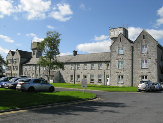 Saint Ita's Hospitalworkhouse · 1250 yd
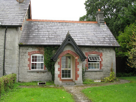 Fannings Cottageworker's house · 1704 yd
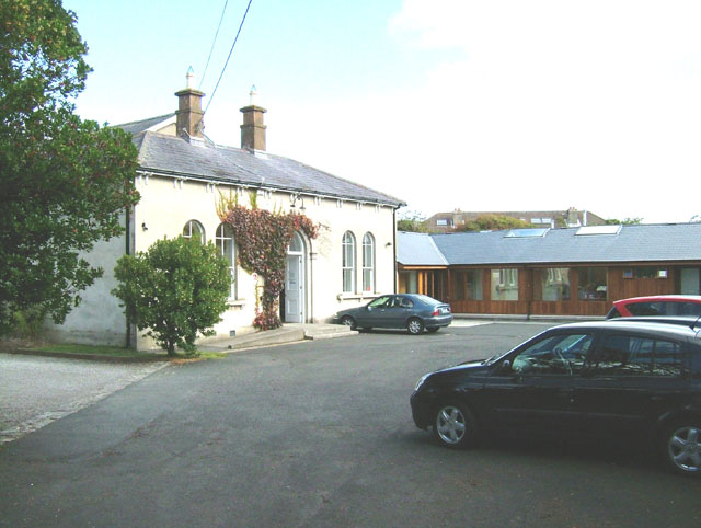 Enclosure in ChurchtownEnclosure · 1.1 mi
 Burial GroundGraveyard · 1.1 mi
 Templars Castle (in ruins)Castle, Anglo-Norman masonry castle · 1.2 mi
 Castle MahonCastle · 3.0 mi
 St. Luke's WellSpring · 3.2 mi
 St. Kieran's WellSpring · 3.8 mi
 European ashEuropean ash · 3.9 mi
 Limerick GreenwayWalking route · 4.2 mi
 Sugar HillMountain / peak · 5.6 mi
 Ballagh MountainMountain / peak · 6.9 mi