What is recorded here
Situated on a slight rise, surrounded by gently undulating grassland. Ringfort (WM003-087---) 190m to NNW. The field fences which form the boundaries with the townlands of Simonstown and Lispopple are 38m to the NE and 40m to the E respectively. Depicted as a sub-circular shaped enclosure (approx. diam. 30m E-W) on the 1837 ed. OS 6 inch map. The site has been almost completely levelled, all that remains are vague traces of a very low, wide fragmentary earthen bank (Wth 3.4m; H 0.05m).
Compiled by: Frank Coyne and Caimin O'Brien
Date of upload: 25 May 2017
The monument record does not grant public access. Check the route and ask the landowner before entering private land.
- What survives
- Recorded monument
Places near here
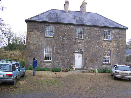 Simonstown Househouse · 968 yd
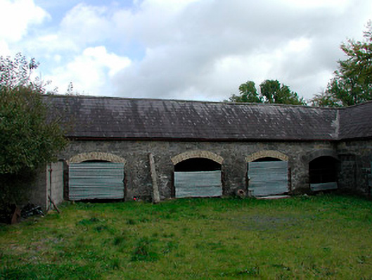 stablesstables · 1096 yd
 Ecclesiastical enclosure in MayneEcclesiastical enclosure · 1154 yd
 OutlinedFairy fort / earthen ringfort · 1523 yd
 CastleCastle, tower house · 1579 yd
 Turbotstown Ho.Castle, unclassified · 1.6 mi
 European BeechEuropean Beech · 2.0 mi
 Pedunculate OakPedunculate Oak · 2.2 mi
 Bridge Memorial (Kenna)Memorial · 3.9 mi
 Rock of CurryCliff · 4.0 mi
 Mullaghmeen ForestPicnic place · 6.2 mi
 Mullaghmeen Red WalkWalking route · 6.3 mi