What is recorded here
Situated on W facing slope of rising ground in grassland, with extensive views to W. Ringfort (WM003-081---)130m to N. A slightly raised sub-circular shaped area (approx. diam. 26m NW-SE) enclosed by two earthen banks and a narrow steep intervening fosse. The inner bank is substantial and well preserved, with an entrance gap (Wth 1.45m) at WSW. The outer bank is low, and the fosse has been filled in from SW-NW. From NW-E-SE a field fence, which is also the boundary with Mayne townland, runs along the line of this outer bank. Outline of monument depicted on an estate map dating from 1781 (MS 21 F. 48 / (006)).
See attached profile of monument surveyed and drawn by the ASI.
Compiled by: Frank Coyne and Caimin O'Brien
Date of upload: 23 May 2017
The monument record does not grant public access. Check the route and ask the landowner before entering private land.
- What survives
- Recorded monument
Places near here
 Ecclesiastical enclosure in MayneEcclesiastical enclosure · 706 yd
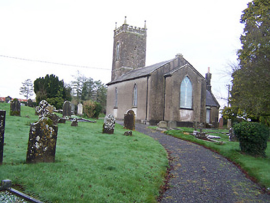 Saint Nicholas's Church (Mayne)church/chapel · 712 yd
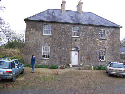 Simonstown Househouse · 732 yd
 Partially hachuredFairy fort / earthen ringfort · 1683 yd
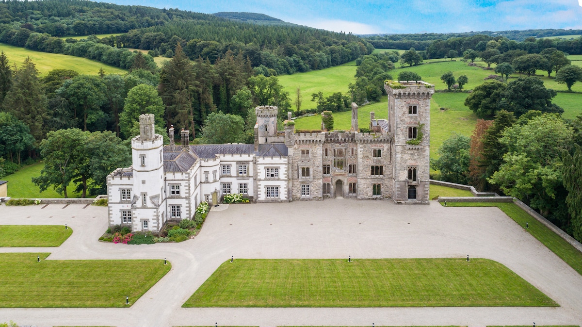 CastleCastle, tower house · 1.1 mi
 Turbotstown Ho.Castle, unclassified · 1.3 mi
 European BeechEuropean Beech · 2.0 mi
 Pedunculate OakPedunculate Oak · 2.3 mi
 Rock of CurryCliff · 3.7 mi
 Bridge Memorial (Kenna)Memorial · 4.2 mi
 Mullaghmeen ForestPicnic place · 6.0 mi
 Mullaghmeen Red WalkWalking route · 6.1 mi