What is recorded here
Situated on well drained grassland with reasonable views of the surrounding countryside. Corn Mill located 175m to E. A sub-oval shaped area (approx. diam. 40m NW-SE; 33m NE-SW) enclosed by a low earthen bank and a wide shallow external fosse which is only visible at N & E. From S-W-N the perimeter is formed by a field fence, and a laneway intersects the monument at S. Only the enclosing element on the W side of the monument is visible on Digital Globe aerial photograph taken November 2011.
Compiled by: Frank Coyne and Caimin O'Brien
Date of upload: 16 June 2017
The monument record does not grant public access. Check the route and ask the landowner before entering private land.
- What survives
- Recorded monument
Places near here
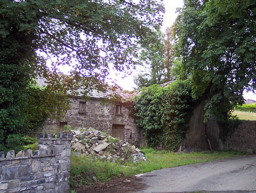 mill (water)mill (water) · 234 yd
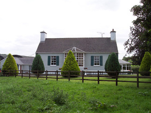 Ballindurrow Househouse · 559 yd
 CastleCastle, unclassified · 610 yd
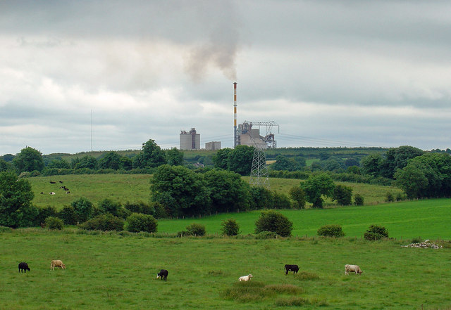 Partially indicatedCastle, motte · 881 yd
 ConventEcclesiastical site · 1090 yd
 Bridge Memorial (Kenna)Memorial · 1210 yd
 OutlinedFairy fort / earthen ringfort · 1.1 mi
 Scragh Bog Nature ReserveNature reserve · 2.9 mi
 Church IslandIsland · 3.5 mi
 Carrickphilbin IslandIslet · 3.6 mi
 Lady's IslandWood · 4.1 mi
 Seafin HillMountain / peak · 11 mi