What is recorded here
Fairy fort / earthen ringfort in Ballincurry (Crohane parish) is a fairy fort or earthen ringfort in Ballincurry (Crohane parish), County Tipperary, Ireland. The surviving western half forms a modern field boundary around a forty-four-metre semi-circle, while the eastern half has been levelled. A wet outer ditch reaches one metre deep beside an earth and stone bank that stands one point seven metres high on the outside.
In flat poorly drained grassland in upland area with good views in all directions. Only the W half of the ringfort survives where it has been incorporated into the modern field boundary and consists of an earth and stone bank (top Wth 2.2m; base Wth 5m; int. H 0.8m; ext. H 1.7m)with wet waterlogged outer fosse (base Wth 4m; top Wth 9m; ext. D 1m) enclosing a semi-circular area (int. diam. 44m N-S) from S through W to N only, elsewhere the enclosing elements have been levelled. The ban only survives from NW to N only and has been reduced to a scarp (H 0.8m) from S through W to NW. Poorly preserved monument of which only the bank and fosse survives from S through W to N where it is incorporated into the modern field boundary, elsewhere the monument has been levelled possibly when the field was being reclaimed.
Compiled by: Jean Farrelly
Date of upload: 26 August 2011
The monument record does not grant public access. Check the route and ask the landowner before entering private land.
- What survives
- Recorded monument
Places near here
 IndicatedSettlement cluster · 1084 yd
 RathanaffrinFairy fort / earthen ringfort · 1188 yd
 CastleCastle, motte · 1.2 mi
 RoadRoad, hollow-way · 1.2 mi
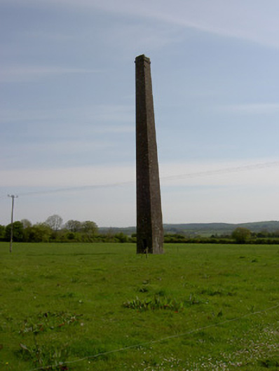 Copper Steeplechimney · 1.3 mi
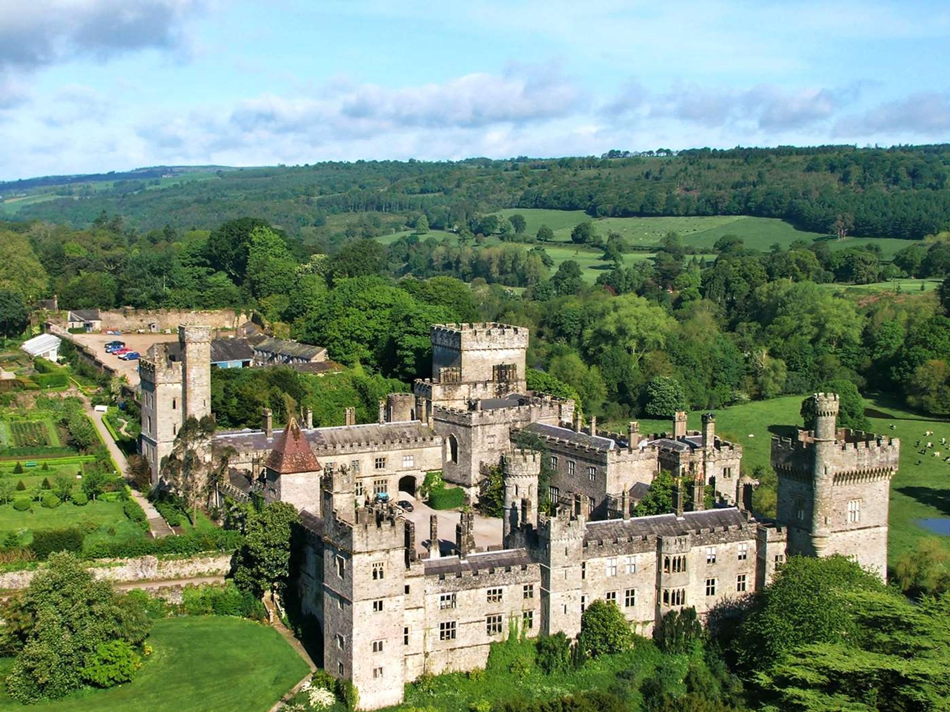 Site of Lisnamrock CastleCastle, unclassified · 1.5 mi
 Waterloo HillMountain / peak · 2.5 mi
 Eagle HillMountain / peak · 2.9 mi
 Slieveardagh Heritage CentreVisitor information · 3.2 mi
 Top Field at Carey'sForest · 4.3 mi
 Second Field on the HillForest · 4.4 mi
 Derrynaflan TrailHeritage attraction · 4.8 mi