What is recorded here
Fairy fort / earthen ringfort in Ballincurry (Crohane parish) is a fairy fort or earthen ringfort in Ballincurry (Crohane parish), County Tipperary, Ireland. It occupies high grassland with clear views in every direction. A circular area about 31 metres across sits inside a worn earth and stone bank, while a narrow outer ditch remains visible only to the north-northwest. Field boundaries have cut through the eastern bank and ditch, leaving a western gap and a centre marked by thorn and gorse bushes.
In grassland atop high ground with good views in all directions in upland region. Ringfort consists of a circular area (approx.int. diam. N-S 31m) enclosed by a poorly preserved earth and stone bank (top Wth 1.7m; base Wth 4m; int. H 0.4; ext. H 0.8m) with an outer fosse visible (base Wth 2.5m; top Wth 4m; ext. D 0.4m) only NNW elsewhere it has been filled in. Gap (Wth 2.5m) in bank at W and bank has been levelled at E with field boundary traversing centre of site on a NE-SW axis. Interior covered in thorn bushes and bank covered in gorse bushes. Fosse of ringfort intersected at E by a field boundary on a N-S axis. No other features visible.
Compiled by: Jean Farrelly
Date of upload: 26 August 2011
The monument record does not grant public access. Check the route and ask the landowner before entering private land.
- What survives
- Recorded monument
Places near here
 RathanaffrinFairy fort / earthen ringfort · 801 yd
 Enclosure in Ballincurry (crohane Par.)Enclosure · 845 yd
 CastleCastle, motte · 1.1 mi
 Coolquill CastleCastle · 1.4 mi
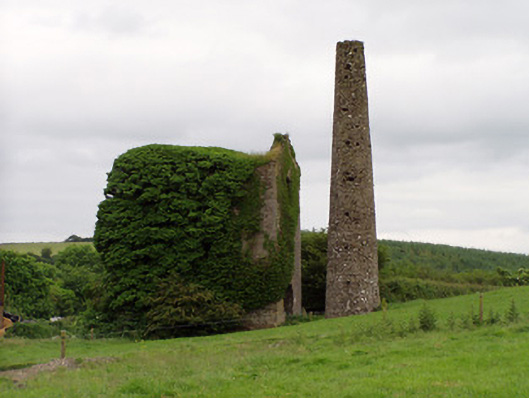 Mardyke Collieryengine house · 1.4 mi
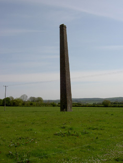 Copper Steeplechimney · 1.5 mi
 Waterloo HillMountain / peak · 2.0 mi
 Slieveardagh Heritage CentreVisitor information · 2.9 mi
 Eagle HillMountain / peak · 3.0 mi
 Derrynaflan TrailHeritage attraction · 4.3 mi
 Top Field at Carey'sForest · 4.7 mi
 Second Field on the HillForest · 4.8 mi