What is recorded here
Fairy forts are human ringforts misnamed because people stopped remembering the hands that built them. In Ballinbrittig that forgotten hand shaped a level circle on a tilted slope, raised the north side and left a west entrance for traffic that no longer comes. The fairies inherit only what humanity abandoned; they do not create the ring, the bank or the choice of place.
In pasture, below crest of ridge, on N-facing slope. Circular area (33.2m N-S; 32m E-W) enclosed by earthen bank (H 1.4m), stone faced in parts. Fosse (D 0.6m) survives W->ESE. Gaps in bank to N and ESE; probable entrance to WSW. Interior raised on N side to compensate for hillslope.
The above description is derived from the published 'Archaeological Inventory of County Cork. Volume 2: East and South Cork' (Dublin: Stationery Office, 1994). In certain instances the entries have been revised and updated in the light of recent research.
Date of upload/revision: 14 January 2009
The monument record does not grant public access. Check the route and ask the landowner before entering private land.
- What survives
- Recorded monument
Places near here
 Church (Site of)Church · 402 yd
 IndicatedFairy fort / earthen ringfort · 559 yd
 Country house in Ballynagaul (barrymore By., Kilquane Par.)Country house · 1604 yd
 Windsor Cottagehouse · 1.2 mi
 Carberrytown WoodWood · 1.8 mi
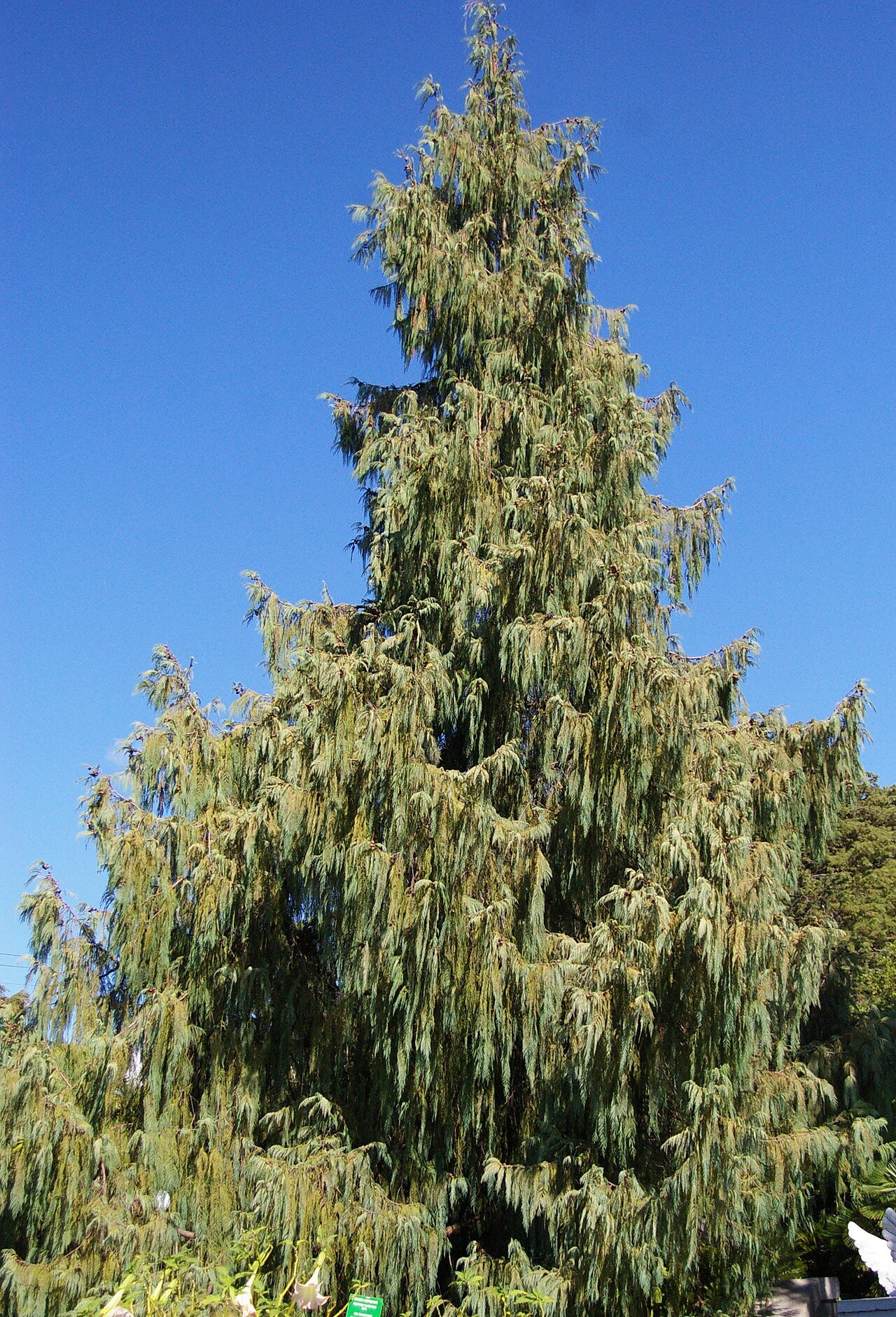 Bhutan CypressBhutan Cypress · 1.8 mi
 Gleeson MemorialMemorial · 1.9 mi
 Old Court (Site of)Castle, unclassified · 2.3 mi
 Sarsfields Court (in Ruins)Castle, unclassified · 3.6 mi
 Lough MahonBay · 4.1 mi
 Glanmire Heritage SocietyMemorial · 4.7 mi
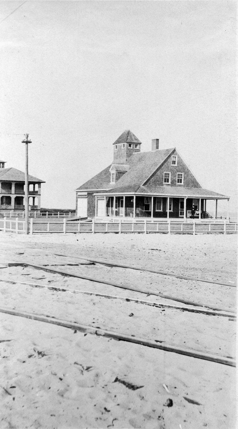 Old coast guard station ruinRuins · 4.9 mi