What is recorded here
Fairy fort / earthen ringfort in Ballinaspick or Bishopstown is a fairy fort or earthen ringfort in Ballinaspick or Bishopstown, County Westmeath, Ireland. Situated on a high ridge in pasture with commanding views, it is depicted on the revised 19130ed. OS 25-inch map as a roughly oval-shaped earthwork. A 1973 description recorded it as a small, roughly circular-shaped area enclosed by a low bank of earth and stone, with an interior that is very uneven and scattered with stones and small boulders.
Situated on a high ridge, in pasture, with commanding views of the surrounding landscape. Ringfort (WM031-027----) lies c. 90m to S and ringfort (WM031-030----) lies c. 105m to SE. Depicted on the revised 19130ed. OS 25-inch map as a roughly oval-shaped earthwork. Monument described in 1973 as a small, roughly circular-shaped area enclosed by a low bank of earth and stone. The interior is very uneven with a large number of stones and small boulders scattered across the surface. There appear to be the remains of house sites within, although these cannot be properly distinguished due to dense growth of vegetation. Monument is visible today as a roughly oval-shaped tree-planted earthwork (approx. diam. 30m) on Digital Globe aerial photography.
Compiled by Alison McQueen, Vera Rahilly and Caimin O’Brien.
Date of upload: 13 November 2019
The monument record does not grant public access. Check the route and ask the landowner before entering private land.
- What survives
- Recorded monument
Places near here
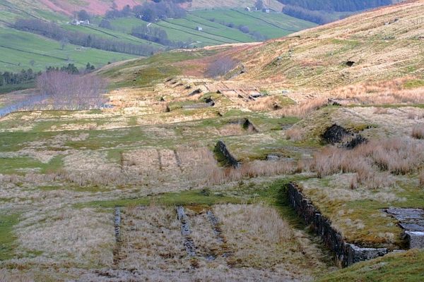 Partially hachuredFairy fort / earthen ringfort · 464 yd
 OutlinedFairy fort / earthen ringfort · 481 yd
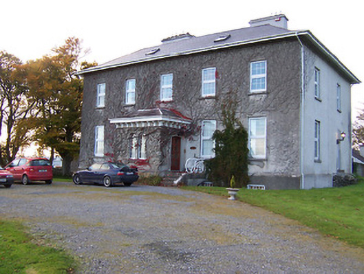 Streamstown Housecountry house · 1290 yd
 Killgarvan Househouse · 1377 yd
 Sam's ParkForest · 1.1 mi
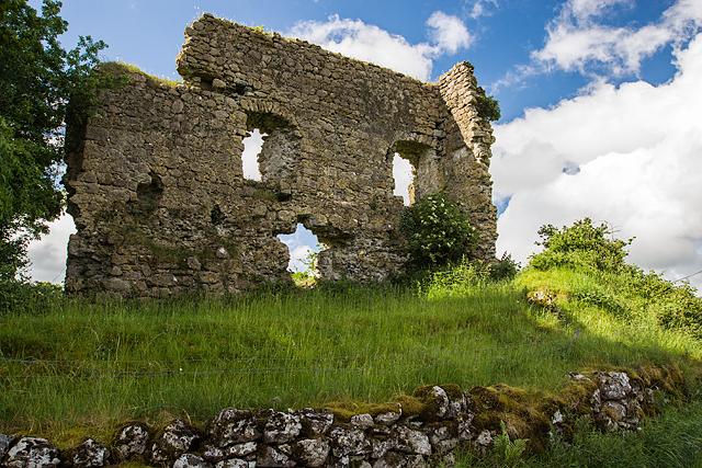 Laragh CastleCastle · 1.2 mi
 KnockastiaMountain / peak · 1.3 mi
 Bishopstown Castle in ruinsCastle, unclassified · 1.4 mi
 Japanese pagoda treeJapanese pagoda tree · 1.7 mi
 Kilmalady HillMountain / peak · 4.6 mi
 Craft WorkshopHeritage attraction · 9.3 mi
 Guest ServicesVisitor information · 9.3 mi