What is recorded here
Fairy forts are human places misnamed, often built before records began and changed by weather, farm work or forgetting. In Ballinadrum that old ring may have held a home, a boundary or a small centre of local life, while later people invented fairies to explain why the earth still stood out in the field.
The following description is derived from the published 'Archaeological Inventory of County Carlow' (Dublin: Stationery Office, 1993). In certain instances the entries have been revised and updated in the light of recent research.
Date of upload/revision: 17 July 2007
Visible as slight very defaced rise with shallow concave interior (diam. c. 30m, H c. 0.4m).
Aerial photograph (GB89.AH.24) shows position of the ringfort. On aerial photograph the monument is recorded as a low level circular earthwork defined by a fosse; currently under cultivation (Barrett 1989).
A fairy fort / earthen ringfort in Ballinadrum is a circular earthwork enclosure typical of early-medieval Ireland, likely dating to between the 5th and 10th centuries AD. Local tradition associates such sites with fairy folk, and they were often avoided for fear of disturbing supernatural inhabitants.
The monument record does not grant public access. Check the route and ask the landowner before entering private land.
- What survives
- Recorded monument
Places near here
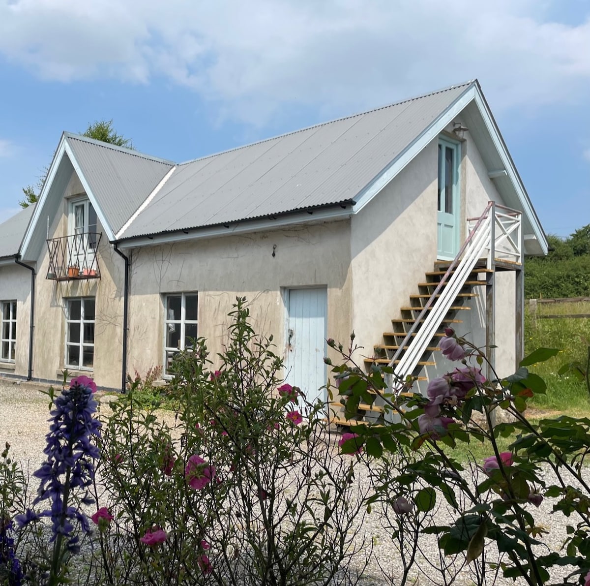 Enclosure in BallinadrumEnclosure · 253 yd
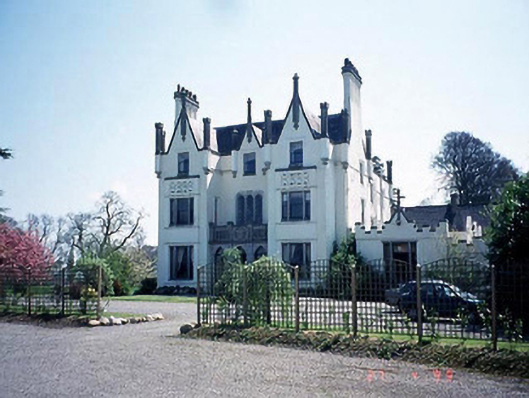 Ballykealey Housecountry house · 429 yd
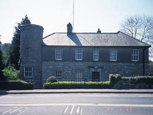 Ballon Garda Síochána StationRIC barracks · 640 yd
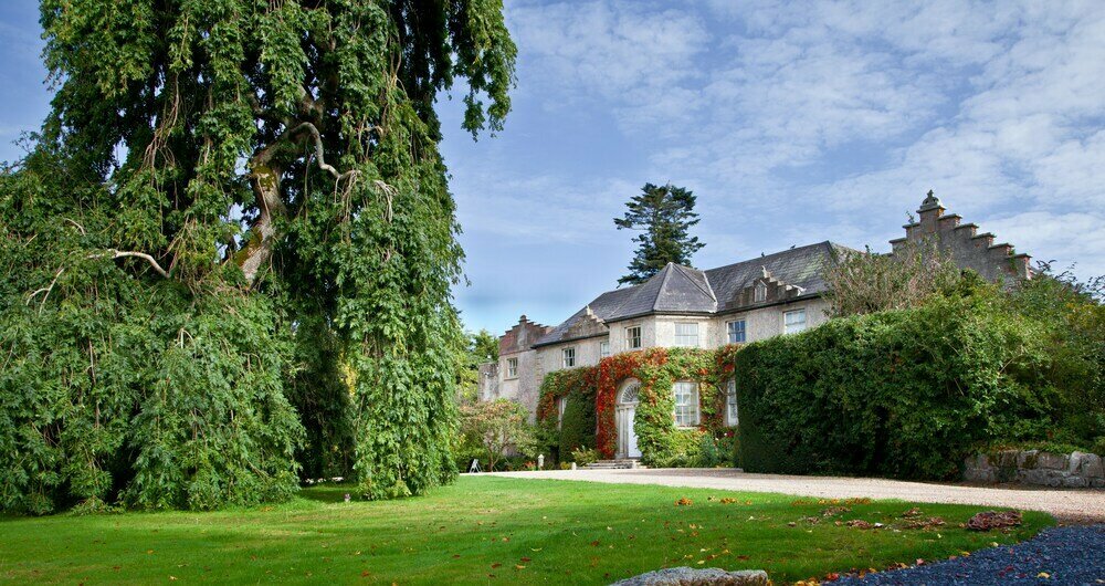 Enclosure in BallonEnclosure · 893 yd
 Church (in ruins), GraveyardChurch · 1192 yd
 Castlegrace MoatCastle, motte · 1.2 mi
 Scots PineScots Pine · 2.4 mi
 Altamont Gardens MapVisitor information · 2.4 mi
 Altamont House and GardensHeritage attraction · 2.5 mi
 Ballynunnery Castle in ruinsCastle, unclassified · 2.9 mi
 Kilmurry Church (in ruins), GraveyardChurch · 2.9 mi
 English hollyEnglish holly · 3.5 mi