What is recorded here
On the SW facing slope of a hill with restricted view to the N. Circular area (diam 48m E-W) enclosed by an earth and stone bank (Wth 2m, ext. H 1.5m, int. H 0.5m) with slight traces of an external fosse with ramped entrance (Wth 3m) at SE. The interior of the site slopes from NE to SW.
The above description is derived from the published 'Archaeological Inventory of County Offaly' (Dublin: Stationery Office, 1997). In certain instances the entries have been revised and updated in the light of recent research.
Date of upload: 23 May 2011
The monument record does not grant public access. Check the route and ask the landowner before entering private land.
- What survives
- Recorded monument
Places near here
 Enclosure in BallykilcrossEnclosure · 324 yd
 OutlinedFairy fort / earthen ringfort · 335 yd
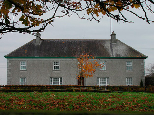 Ballard Househouse · 1324 yd
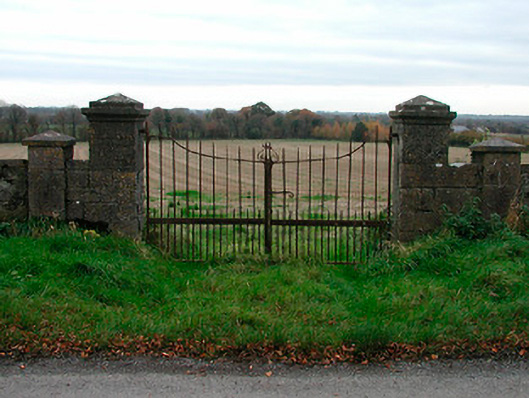 gates/railings/wallsgates/railings/walls · 1444 yd
 Kilmalady HillMountain / peak · 1.2 mi
 Bawn in CoolaloughBawn · 1.8 mi
 Kilcoursey Castle (in Ruins)Bawn · 2.0 mi
 Chapel HillForest · 2.0 mi
 High WoodWood · 2.8 mi
 St. Columba's WellSpring · 3.2 mi
 ToberaskeenSpring · 3.5 mi
 Clara Bog BoardwalkHeritage attraction · 3.7 mi