
What is recorded here
Situated on top of a large ridge running E-W, in pasture, with extensive views in all directions. Annotated 'fort' and depicted on the 1837 OS Fair Plan map as an irregular-shaped enclosure. Shown on the revised 1910 ed. OS 25-inch map as a roughly oval-shaped tree-lined enclosure (50m NE-SW; 33m NW-SE). Monument described in 1979 as an oval-shaped area enclosed by a low bank of earth and stone. The bank is very sharp and appears relatively modern having probably been constructed when the planting was done. There is no definite trace of an external fosse. A narrow drain-like depression to W appears to be part of an older field system which can be seen in the vicinity. Old cultivation ridges running E-W are visible to S and W. The interior has a N-facing slope and has been used to deposit field clearance stones and for quarrying in the NE quadrant. This monument may originally have been a ringfort which has been modified and planted to form a tree ring in the post-1700 period. Monument is visible today as an oval-shaped tree-planted earthwork on Digital Globe aerial photography.
Compiled by Alison McQueen, Vera Rahilly and Caimin O’Brien.
Date of upload: 16 December 2019
A local fairy fort (ringfort/rath); wider significance not recorded.
The monument record does not grant public access. Check the route and ask the landowner before entering private land.
- What survives
- Recorded monument
Places near here
 Enclosure in BallykilcrossEnclosure · 299 yd
 Cist in BallickmoylerCist · 1012 yd
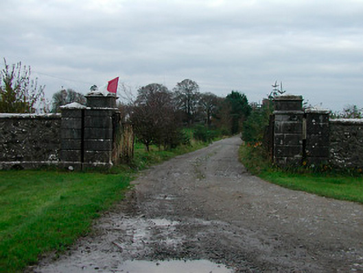 Correagh Cottagegates/railings/walls · 1242 yd
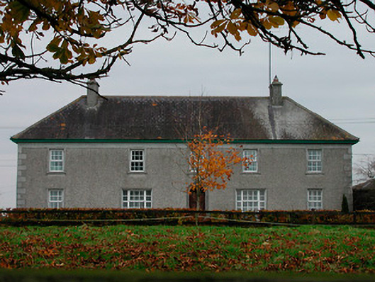 Ballard Househouse · 1255 yd
 CastleCastle, unclassified · 1.1 mi
 Kilmalady HillMountain / peak · 1.3 mi
 Bawn in CoolaloughBawn · 1.7 mi
 Chapel HillForest · 2.2 mi
 High WoodWood · 2.8 mi
 St. Columba's WellSpring · 3.2 mi
 ToberaskeenSpring · 3.6 mi
 Clara Bog BoardwalkHeritage attraction · 3.9 mi
Other information
Photo: Credit not shown in the picture search · Rights wording not checked; contact us if this picture should be removed