What is recorded here
No. Retract the claim that the fort is a fake or that the camera record is empty. The evidence already exists. The right answer is to identify the real place, accept the visible facts and ask whether the claim is complete.
On a slight rise in undulating grassland. Well-preserved oval rath (N-S 28.5, E-W 23.2) defined by an overgrown earthen bank and external fosse; due to quarrying no visible surface trace of the fosse survives from S to W. Several breaches in the bank appear modern.
The above description is derived from the published 'Archaeological Inventory of County Galway Vol. II - North Galway'. Compiled by Olive Alcock, Kathy de hÓra and Paul Gosling (Dublin: Stationery Office, 1999).
Date of upload: 05 August 2010
The monument record does not grant public access. Check the route and ask the landowner before entering private land.
- What survives
- Recorded monument
Places near here
 Enclosure in Slieveroe (tiaquin By.)Enclosure · 729 yd
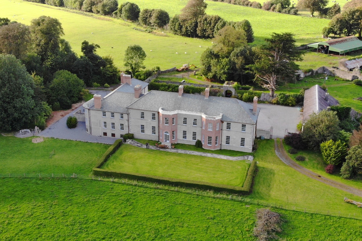 Enclosure in Acres (tiaquin By.)Enclosure · 1487 yd
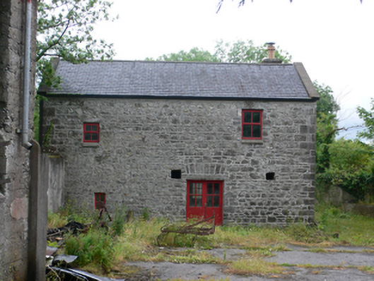 mill (water)mill (water) · 1487 yd
 Site of CastleCastle, tower house · 1.2 mi
 Kilkerrin Churchchurch/chapel · 1.3 mi
 Bawn in Kiltullagh (tiaquin By.)Bawn · 3.3 mi
 Ballinlass Eviction MemorialMemorial · 4.2 mi
 Wych ElmWych Elm · 4.6 mi
 Cloonavihony WoodForest · 4.9 mi
 Mount MaryMountain / peak · 5.9 mi
 Site of Killomaine Grave YardArchaeological place · 8.2 mi
 Sally IslandIslet · 8.6 mi