What is recorded here
Located on a slight NW-facing slope. The schools’ manuscripts record a fort at Ballagh that had a large stone in it (IFC (946) 452; (953) 314: www.duchas.ie/en/cbes ) and the location is known locally as a fort. A curve in a field bank (Chord c. 27m NW-SE) is depicted only on the 1907 edition of the OS 6-inch map and suggests the former presence of a rath. A large stone which stood at centre was broken up c. 1960 when the interior was cleared of furze.
The above description is derived from the published 'Archaeological Inventory of County Monaghan' (Dublin: Stationery Office, 1986). In certain instances the entries have been revised and updated in the light of recent research.
Compiled by: Michael Moore
Date of revision: 23 February 2018
A fairy fort or earthen ringfort in Ballagh, likely dating to the early medieval period, is associated with local tradition referring to it as a "fort" and a large stone within its enclosure. The site is known in folklore as a place of otherworldly significance, linked to Irish fairy beliefs.
The monument record does not grant public access. Check the route and ask the landowner before entering private land.
- What survives
- Recorded monument
Places near here
 IndicatedCrannog · 706 yd
 BlackrawFairy fort / earthen ringfort · 1106 yd
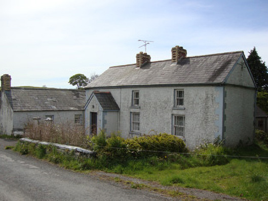 Brookside Cottagehouse · 1422 yd
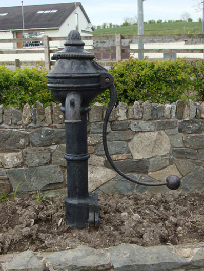 water pumpwater pump · 1.3 mi
 Rossmore MausoleumHeritage attraction · 1.6 mi
 Dagda's CauldronHeritage attraction · 1.6 mi
 Hazel WoodWood · 2.5 mi
 Lisarrilly HillMountain / peak · 3.8 mi
 Bawn in Roosky (monaghan By., Monaghan Par.)Bawn · 3.9 mi
 Rossmore MonumentMemorial · 4.0 mi
 Roosky Castle (Site of)Castle, ringwork · 4.2 mi
 Tomb HillMountain / peak · 5.7 mi