
What is recorded here
Situated in Ballagh Lough, a subrectangular lake (dims c. 250m NW-SE; c. 200m NE-SW) where the MacMahon assented to a Papal Bull ‘at our stronghold of Lochnalach’ in 1297 (Smyth 1954, 3-4). This is a circular grass-covered cairn (diam. 14m; H 0.5m over reduced water level). When the water level was first lowered in 1976 a double ring of piles was noted together with portion of a dug-out canoe (SMR file).
The above description is derived from the published 'Archaeological Inventory of County Monaghan' (Dublin: Stationery Office, 1986). In certain instances the entries have been revised and updated in the light of recent research.
Compiled by: Michael Moore
Date of revision: 22 February 2018
The monument record does not grant public access. Check the route and ask the landowner before entering private land.
- What survives
- Recorded monument
Places near here
 The McMahon StoneArchaeological place · 800 yd
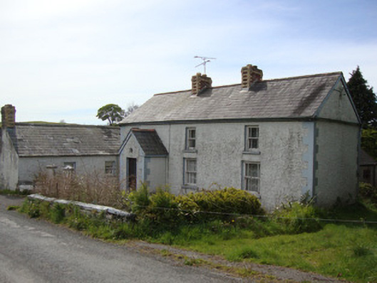 Brookside Cottagehouse · 1159 yd
 Tullygillen Millmill (water) · 1.0 mi
 BlackrawFairy fort / earthen ringfort · 1.0 mi
 Rossmore MausoleumHeritage attraction · 1.2 mi
 Dagda's CauldronHeritage attraction · 1.2 mi
 Hazel WoodWood · 2.2 mi
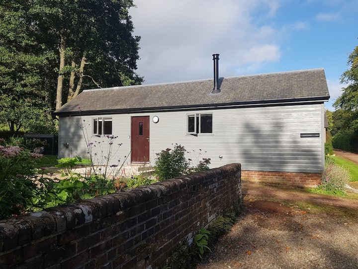 Gamekeeper's WoodForest · 3.1 mi
 Rough HillMountain / peak · 3.4 mi
 Bawn in Roosky (monaghan By., Monaghan Par.)Bawn · 3.5 mi
 Rossmore MonumentMemorial · 3.6 mi
 Lisarrilly HillMountain / peak · 4.1 mi
Other information
Photo: Credit not shown in the picture search · Rights wording not checked; contact us if this picture should be removed