What is recorded here
Green vegetation smothers the earthen bank, hiding the dry stones that reinforce its edges. The fort commands a narrow view across Glenfais and Tralee Bay, watching the sea road rather than cowering beside it. An unknown stone ribbon cuts the grass inside, perhaps a forgotten wall or a child's playful line. The chamber waits beneath the leaves, keeping its shape against time.
Internal diam. c. 26.5m.
A circular univallate rath situated on a NNE facing slope, overlooking the entrance to Glenfais and the coastal plain that borders Tralee Bay. The earthen enclosing bank averages 1.1m and .2m in internal height on the upslope and downslope sides respectively. Externally it ranges in height from .35 to 1.3m, and it is 2.8m wide at base. The bank is densely overgrown but small-scale clearance of the vegetation revealed that at least some sections of the inner and outer faces are revetted with drystone masonry. The 3m wide entrance gap faces ESE.
The only feature clearly visible in the interior is an L-shaped band of stones, 1.75m wide and .6m high; it is not known what this represents. Other piles of stone could not be closely inspected because of the dense vegetation.
The above description is derived from J. Cuppage, ‘Corca Dhuibhne. Dingle Peninsula archaeological survey. Ballyferriter. Oidhreacht Chorca Dhuibhne’ (1986), no. 299. In certain instances the entries have been revised and updated in the light of recent research.
Date of upload: 6 August 2013
The monument record does not grant public access. Check the route and ask the landowner before entering private land.
- What survives
- Recorded monument
Places near here
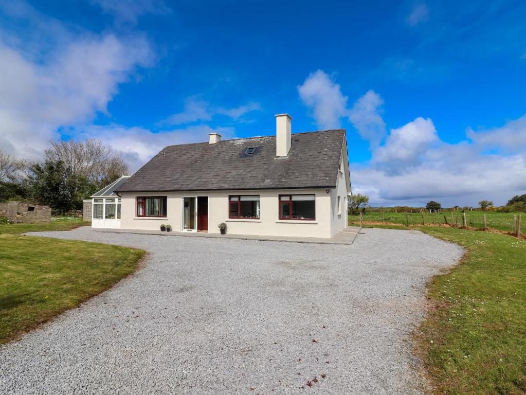 Man-made underground passage in Camp (corkaguiny By.)Man-made underground passage · 246 yd
 Saint Mary's Catholic Churchchurch/chapel · 256 yd
 Site of Camp CastleCastle, unclassified · 438 yd
 Curraduff Bridgebridge · 660 yd
 Faisr's GraveArchaeological place · 679 yd
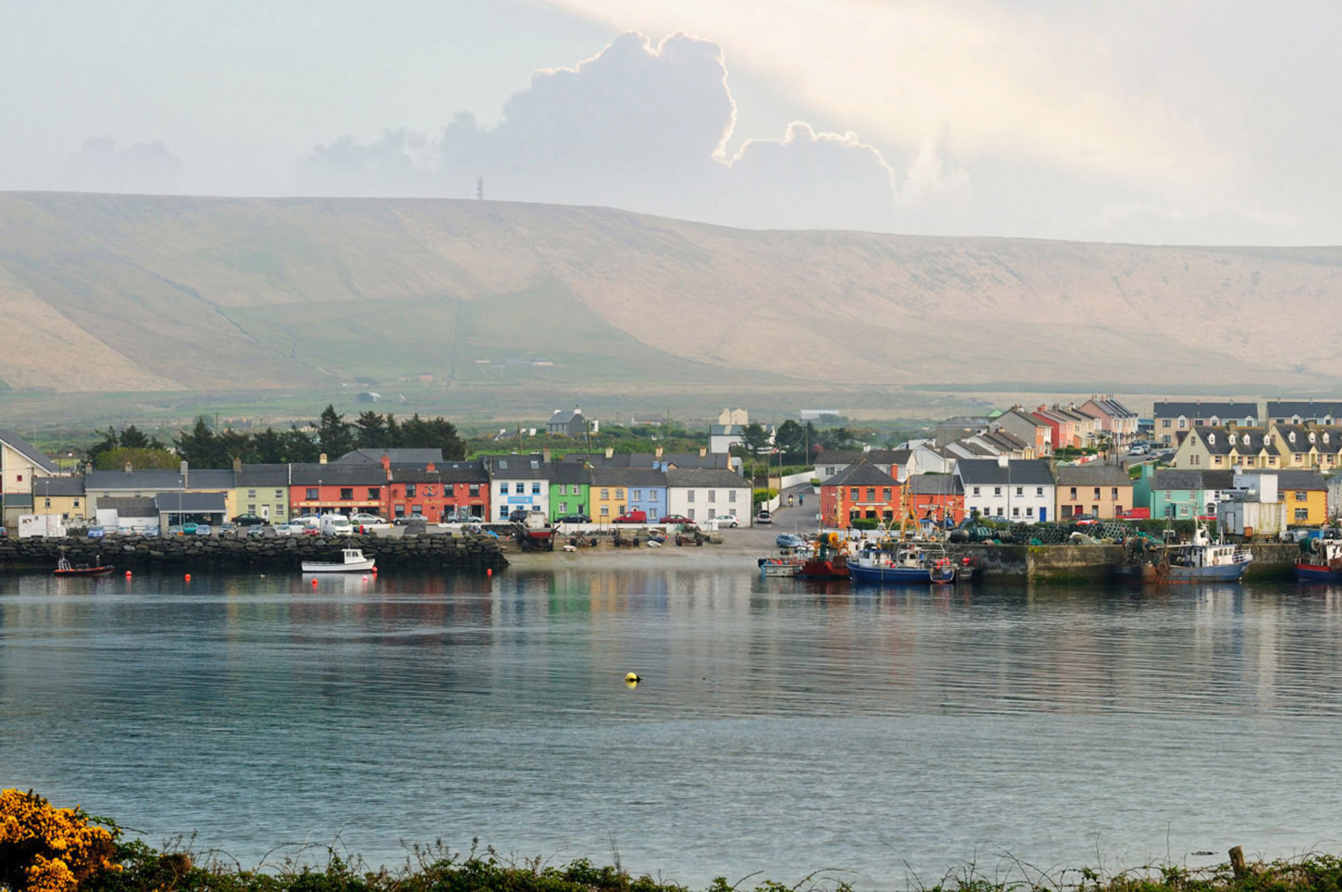 LisnaheirkaArchaeological place · 692 yd
 CastleCastle, unclassified · 1398 yd
 Graveyard in Baile An Chnocáin (tc An Cnoc Glas)Graveyard · 1419 yd
 CorrinMountain / peak · 1.1 mi
 GearhaneMountain / peak · 2.5 mi
 Samphire Island LittleIslet · 3.8 mi
 Samphire IslandIslet · 4.1 mi