What is recorded here
No visible castle, no church tower, no grand stone claim. Ayle Lower keeps a small earthen ring on a high ridge, facing wide bog and open country. That is why it stays memorable: it is not making a show, it is still occupying the land.
On a high NE-SW ridge (61m OD) in pasture with excellent views of the surrounding landscape and overlooking a large expanse of bog to S. The monument is not depicted on the 1842 edition of the OS 6-inch map, however it is shown as a circular enclosure on the OS 25-inch and 1920 edition of the OS 6-inch maps. It consists of a roughly circular area (22m N-S; 23m E-W) defined by an earthen bank (int. H 0.15-0.25m; ext. H 0.85m; Wth at top 0.6m; overall Wth 2.75m). The interior height of the bank (int. H 0.25m) is more defined N-E, however the external height is much lower than elsewhere. The exterior of the bank is denuded from livestock erosion, particularly at W, where a trackway (long-axis NE-SW) is located between the monument and the adjacent field boundary to WNW. There is a probable entrance gap (Wth 2.5m) at SSW. The interior of the monument is generally level except at SE, where there is a slight tilt downslope. The interior is slightly obscured by briars around the perimeter and mature trees grow out of bank. According to local information, an underground passage was uncovered during the course of drainage works outside the southern side of the monument.
The following images have been uploaded:
CL027-017----_01.jpg From S. General landscape view of monument.
CL027-017----_02.jpg From N. General view across interior.
CL027-017----_03.jpg From SSW. Entrance gap (probable) at SSW.
CL027-017----_04.jpg From NW. Cross section view of low bank at SW.
Compiled by: Mary Tunney, Alison McQueen and Vera Rahilly
Date of upload: 5 December 2018
A fairy fort / earthen ringfort in Ayle Lower is a circular earthwork likely dating to the early medieval period, constructed as a defensive or habitation site. Local tradition associates such mounds with fairy lore, and they were often avoided due to beliefs in supernatural inhabitants.
The monument record does not grant public access. Check the route and ask the landowner before entering private land.
- What survives
- Recorded monument
Places near here
 Enclosure in Ayle LowerEnclosure · 643 yd
 Enclosure in TomeEnclosure · 1547 yd
 Castle (in ruins)Castle, tower house · 1.3 mi
 Ballynahinch Castle (in Ruins)Castle, unclassified · 1.9 mi
 Derrymore Housegate lodge · 2.3 mi
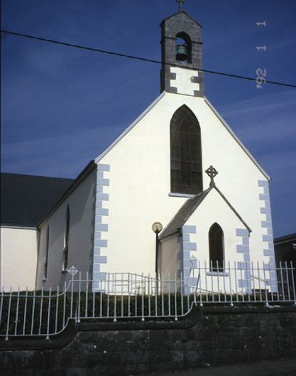 Saint Mary's Catholic Churchchurch/chapel · 2.4 mi
 The StablesGallery · 4.0 mi
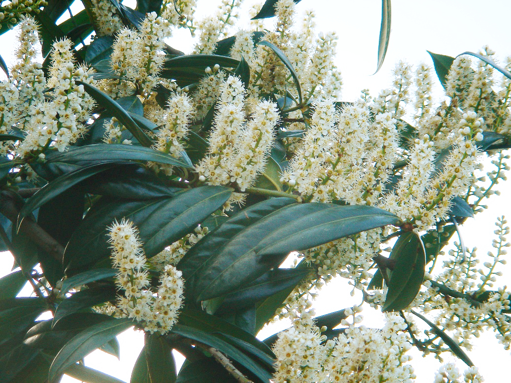 Cherry laurelCherry laurel · 4.8 mi
 Japanese cedarJapanese cedar · 4.8 mi
 MagheraMountain / peak · 4.9 mi
 Cloghleagh RockNamed rock · 6.6 mi
 Mulkere MemorialMemorial · 9.3 mi