What is recorded here
Fairy fort / earthen ringfort in Aughris (tireragh By.) is a fairy fort or earthen ringfort in Aughris (tireragh By.), County Sligo, Ireland. The circular area measures about thirty metres across and sits on a low rise at the northeast edge of coastal pasture. A one-metre scarp defines the boundary, topped by a levelled bank three and a half metres wide, while the original entrance remains unrecognisable.
Situated at the NE edge on top of low rise in lowlying, coastal pasture. Slightly raised, circular area (diam. c. 30m) defined by a scarp (H 1m) which has a levelled bank at its upper edge (Wth c. 3.5m). Original entrance not recognisable.
Compiled by: Patrick F. O'Donovan
Date of upload: 19 January 2011
The monument record does not grant public access. Check the route and ask the landowner before entering private land.
- What survives
- Recorded monument
Places near here
 Fulacht fia in Aughris (tireragh By.)Fulacht fia · 254 yd
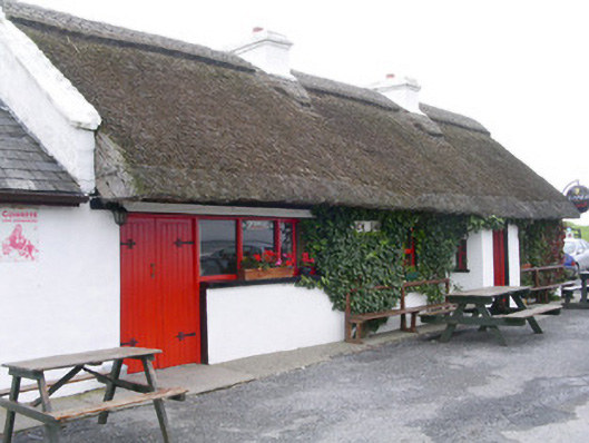 public housepublic house · 398 yd
 Templeboy Church (in Ruins)Church · 475 yd
 Enclosure in Aughris (tireragh By.)Enclosure · 538 yd
 Aughris BeachBeach / strand · 581 yd
 Aughris HeadHeadland · 1514 yd
 Dunmoran StrandBeach / strand · 1.2 mi
 DonaghHeadland · 3.8 mi
 Bawn in CarrowbrickeenBawn · 3.9 mi
 Knockalongy North-East TopMountain / peak · 4.7 mi
 Site of Dunneill CastleCastle, unclassified · 4.7 mi
 KnockalongyMountain / peak · 5.0 mi