What is recorded here
Situated on flat pasture in an upland area with nearby ringforts (TN029-071, TN029-073) to N and S respectively. A poorly preserved site consisting of a circular area (diam. 26m NW-SE) defined by a scarp and outer fosse (Wth 3m; D 0.4m). The fosse is visible at NW only and is probably contemporary with the field fence which forms the enclosing element at NW (Stout 1984, 46).
The above description is derived from 'The Archaeological Inventory of County Tipperary. Vol. 1 - North Tipperary' compiled by Jean Farrelly and Caimin O'Brien (Dublin: Stationery Office, 2002). In certain instances the entries have been revised and updated in the light of recent research.
Date of upload/revision: 22 September 2008
The monument record does not grant public access. Check the route and ask the landowner before entering private land.
- What survives
- Recorded monument
Places near here
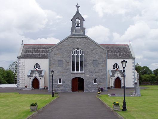 Catholic Church of Saint John the Baptistchurch/chapel · 776 yd
 Castle (in Ruins)Bawn · 1001 yd
 Enclosure in CobbsEnclosure · 1375 yd
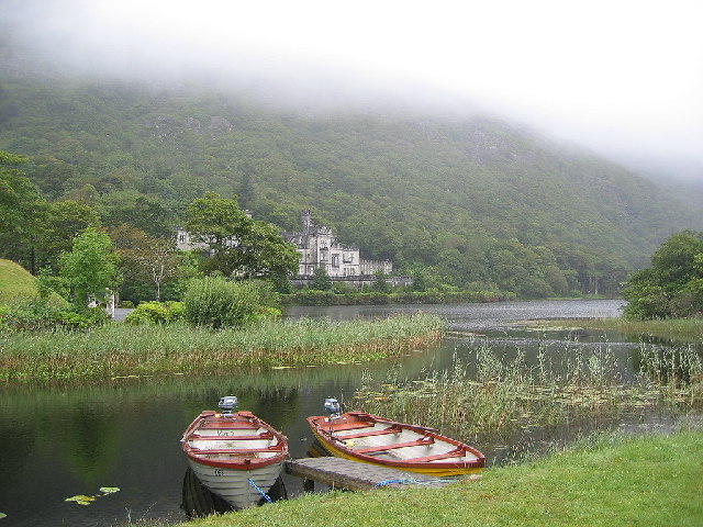 Enclosure in KylemoreEnclosure · 1606 yd
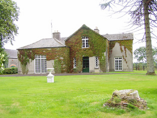 Bellwood Househouse · 1.1 mi
 Cloone castle (In ruins)Bawn · 1.3 mi
 Morris's GroveForest · 2.6 mi
 College HillMountain / peak · 3.1 mi
 Tullow HillMountain / peak · 3.6 mi
 Clonmeen WoodWood · 4.8 mi
 Cormackstown Heritage CentreMuseum · 9.5 mi
 Fairy fort / earthen ringfort in KylemoreFairy fort / earthen ringfort · 1.1 mi