What is recorded here
Aughlin holds a vanished ringfort, visible only as a shallow circular swell and faint ditch beneath pasture on a steep south-facing slope. Cattle now walk across the place where people once drew a boundary, yet the old line still breaks the grass. The fort has surrendered much of its shape, but it has not surrendered its address.
In pasture, on steep S-facing slope. Monument, depicted as roughly circular embanked enclosure on 1841 OS 6-inch map, has been levelled and incorporated into pasture field. However, it is still evident as sub-circular area (29m N-S; 31m E-W) defined by low rise (int. H 0.05m; ext. H 0.1m) NW->SE with an external fosse (D 0.15m; Wth 0.4m) NW->SE. A field boundary overlies the enclosing element SW->NW; field boundaries which abutted site at N and SE have been removed.
Compiled by: Denis Power
Date of upload: 26 August 2011
The monument record does not grant public access. Check the route and ask the landowner before entering private land.
- What survives
- Recorded monument
Places near here
 Enclosure in AughalinEnclosure · 374 yd
 LaghtpatrickSpring · 585 yd
 Fulacht fia in Gorteen WestFulacht fia · 792 yd
 post boxpost box · 1345 yd
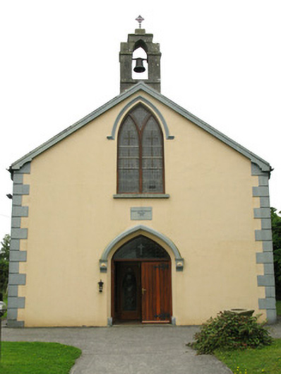 Saint Mary's Catholic Churchchurch/chapel · 1385 yd
 Lady's WellSpring · 1724 yd
 European ashEuropean ash · 1.8 mi
 CastleCastle, tower house · 1.9 mi
 Ballynoe Castle (in ruins)Castle, tower house · 2.1 mi
 Famine stoneMemorial · 4.6 mi
 Flat cemetery in Kiltenan SouthFlat cemetery · 5.7 mi
 Limerick GreenwayWalking route · 8.9 mi