What is recorded here
A 21-metre earthen ring in Aughalin pasture holds a levelled circle on a south-facing slope, its north edge dipping below the surrounding field. The bank stands barely forty centimetres high, yet the deliberate flattening suggests people shaped the ground rather than merely marking it. A modern septic tank sits two metres outside the western curve, tying the old ring to a new house without breaking its line. The fort may have been a home, a boundary marker or a place for ceremony, but its clean circular form still resists forgetting.
In pasture, on S-facing slope. Circular area (diam. 21m) enclosed by earthen bank (int. H 0.35m; ext. H 0.4m). Interior has been levelled against natural gradient so that N side is slightly lower than surrounding field level. Septic tank of recently constructed house located 2m outside bank at W side.
Compiled by: Denis Power
Date of upload: 26 August 2011
The monument record does not grant public access. Check the route and ask the landowner before entering private land.
- What survives
- Recorded monument
Places near here
 IndicatedFairy fort / earthen ringfort · 286 yd
 Enclosure in AughalinEnclosure · 939 yd
 LaghtpatrickSpring · 1310 yd
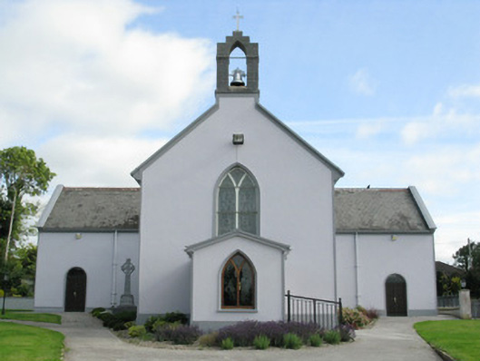 Saint Munchin's Catholic Churchchurch/chapel · 1511 yd
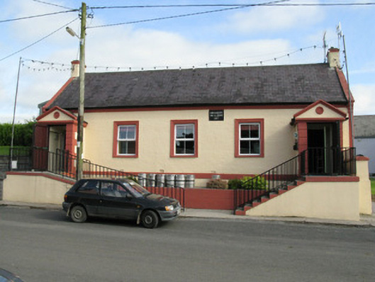 Knockaderry Hall and Libraryhall · 1534 yd
 Lady's WellSpring · 1.2 mi
 Ballynoe Castle (in ruins)Castle, tower house · 1.6 mi
 European ashEuropean ash · 1.6 mi
 CastleCastle, tower house · 1.7 mi
 Flat cemetery in Kiltenan SouthFlat cemetery · 6.3 mi
 Limerick GreenwayWalking route · 8.3 mi
 Ballagh MountainMountain / peak · 8.8 mi