What is recorded here
In gently undulating pasture on top of low rise. Oval area (dims. 43m N-S; 48m E-W) defined by earthen bank (Wth 3.8m; int. H 0.45m; ext. H 0.5m) reduced to scarp (Wth 3.2m; H 0.3m) in places. Possible entrance (Wth 3.5m) at W. Bank intermittently eroded by cattle. Interior has gentle E-facing downslope. Cahill (1982) noted 'a subdivision in SE quadrant delimited by low bank' which was not discernible during subsequent field inspection. Pond abutting exterior at WSW.
Compiled by: Jean Farrelly
Date of upload: 26 August 2011
The monument record does not grant public access. Check the route and ask the landowner before entering private land.
- What survives
- Recorded monument
Places near here
 Enclosure in Garryandrew NorthEnclosure · 1247 yd
 Church (in ruins)Church · 1526 yd
 RahinaghmoreEnclosure · 1.0 mi
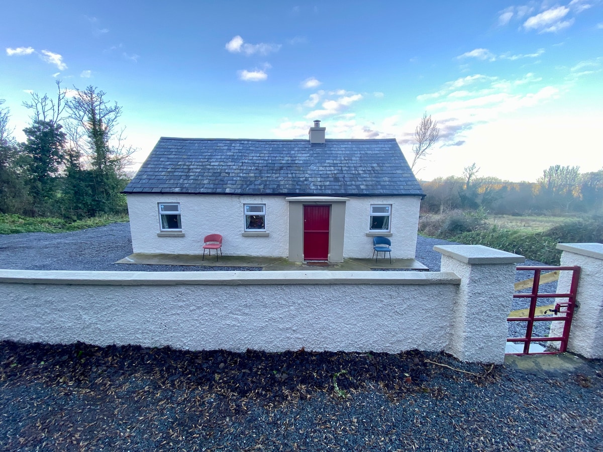
 Commons Cottagehouse · 1.1 mi
 Bawn in Carrigeen (knockgraffon Par.)Bawn · 1.3 mi
 Ballydoyle Castle (in Ruins)Castle · 1.3 mi
 Cashel Folk MusuemMuseum · 3.6 mi
 Black mulberryBlack mulberry · 3.6 mi
 The Rock Of CashelVisitor information · 3.8 mi
 Cormac's ChapelHeritage attraction · 3.8 mi
 Ballyknock HillMountain / peak · 4.4 mi
 Siege of Cahir Castlesiege · 7.1 mi