What is recorded here
Fairy fort / earthen ringfort in Athleague is a fairy fort or earthen ringfort in Athleague, County Roscommon, Ireland. It occupies a circular grass-covered area about forty metres across on the floodplain of the River Suck, with Fort Lyster house nearby to the south. An earthen bank planted with deciduous trees defines the perimeter, though the eastern and southern sections reduce to a low scarp. No visible fosse or original entrance remains, and the site appears only on the 1928 Ordnance Survey map.
Marked only on the 1928 ed. of the OS 6-inch map, and situated on the floodplain of a SE-NW section of the River Suck c. 120m to the N, with Fort Lyster house c. 50m to the S. Circular grass-covered area (diam. 40.2m E-W; 39m N-S) defined by an earthen bank planted with deciduous trees (Wth 2.6-4.6m; int. H 0.4-0.5m; ext. H 0.5-1.3m), which is reduced to a scarp (H 0.2m) E-S. There is no visible fosse or identifiable original entrance.
Compiled by: Michael Moore
Date of upload: 24 August 2010
The monument record does not grant public access. Check the route and ask the landowner before entering private land.
- What survives
- Recorded monument
Places near here
 MillMill, unclassified · 188 yd
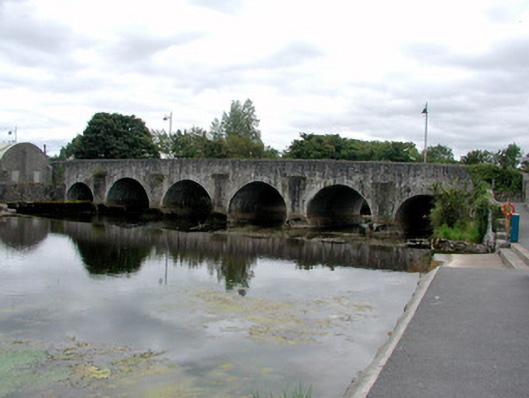 Athleague BridgeOfficially recorded historic building · 226 yd
 CastleHouse, fortified house · 304 yd
 IndicatedFairy fort / earthen ringfort · 949 yd
 Enclosure in ToberavaddyEnclosure · 1.1 mi
 European Crab AppleEuropean Crab Apple · 1.2 mi
 Sally IslandIslet · 2.6 mi
 Castle KellyCastle, tower house · 3.2 mi
 Aughrane WoodsForest · 3.5 mi
 Mount MaryMountain / peak · 5.3 mi
 Roscommon CastleCastle · 5.5 mi
 Inchnaveague IslandIslet · 5.9 mi