What is recorded here
Fairy forts are often little more than a shallow dip and a forgotten ridge, yet this one on Arodstown Hill still carries the shape of a home. People may have lived there, loved there, and vanished before written history began. The field has taken back most of the proof, but the land remembers the difference between a made place and an empty one.
Located on a NE-facing slope of Arodstown Hill. It was described in 1969 (SMR file) as a subcircular grass-covered area (dims 44m E-W; 36.5m N-S) that sloped down to the N (H 1.5m). It was defined by an earthen bank (Wth of base 5.5-6m; int. H 0.1m at N to 0.6m at S; ext. H 1.1m at S to 1.5m at N) with some bushes separated by a rounded fosse (Wth of top 5-5.5m; ext. D 0.3m at N to 0.7m at S) from an outer bank at N (Wth of base 3.5m; ext. H 0.5m) and ESE-SSE (Wth of base 4.3m; int. H 075m; ext. H 0.5m). The original entrance was not recognised but it may have been between NNE and ESE where the inner bank was damaged. The visible profile of the monument had been removed by 1995 (OSAP).
The above description is derived from the published 'Archaeological Inventory of County Meath' (Dublin: Stationery Office, 1987). In certain instances the entries have been revised and updated in the light of recent research.
Compiled by: Michael Moore
Date of revision: 21 August 2019
The monument record does not grant public access. Check the route and ask the landowner before entering private land.
- What survives
- Recorded monument
Places near here
 CastleCastle, unclassified · 645 yd
 Church (in Ruins)Church · 816 yd
 IndicatedBawn · 1046 yd
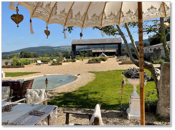 Enclosure in Woodtown (deece Upper By.)Enclosure · 1727 yd
 Fulacht fia in ArodstownFulacht fia · 1.0 mi
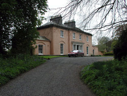 Galtrim Housecountry house · 2.0 mi
 Railway Woods (North)Forest · 2.9 mi
 MullaghMountain / peak · 2.9 mi
 Dunsany WoodWood · 3.0 mi
 1798 MemorialMemorial · 3.6 mi
 Larchil Arcadian GardensHeritage attraction · 3.7 mi
 Kilgar GardensHeritage attraction · 4.7 mi