What is recorded here
Located at the crest of the steep NE-facing slope down to the meandering NW-SE Owenduff river, with the stream c. 100m to the E. The faint cropmark of a circular enclosure (diam. c. 55m) defined by a single fosse feature W-N-SE incorporating the parch mark of a removed and curving field bank SE-W is visible on aerial photographs (ASIAP. WX 98. 26-8).
The above description is derived from the published 'Archaeological Inventory of County Wexford' (Dublin: Stationery Office, 1996). In certain instances the entries have been revised and updated in the light of recent research.
Compiled by: Michael Moore
Date of upload/revision: 18 February, 2013
Amended: 1 May, 2014
The monument record does not grant public access. Check the route and ask the landowner before entering private land.
- What survives
- Recorded monument
Places near here
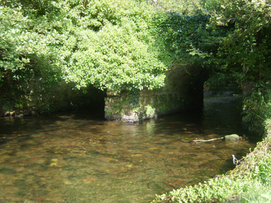 Taylorstown Bridgebridge · 772 yd
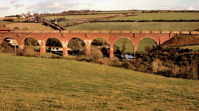 Taylorstown Viaductviaduct · 789 yd
 Bawn in TaylorstownBawn · 831 yd
 Site of St. Catherines ChapelChurch · 1.0 mi
 Fulacht fia in BallylannanFulacht fia · 1.0 mi
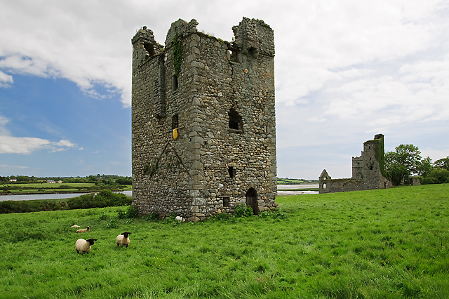 Black Castle (in ruins)Castle, tower house · 1.4 mi
 Lockheed Hudson AM885 MemorialMemorial · 1.7 mi
 Coolcliffe HouseRuins · 2.9 mi
 1798Memorial · 3.1 mi
 Carrig-On-BannowVisitor information · 3.5 mi
 Bridges ChamberCave · 4.4 mi
 Blackhall StrandBeach / strand · 4.4 mi