What is recorded here
Ardtomin holds a thirty-metre earthen ring atop a hill, its stone-and-earth bank still standing though cattle wore the south arc thin. Dense overgrowth now swallows the interior, hiding whatever hands shaped the circle or lived inside it. The west and northeast banks remain stronger, preserving the shape while the rest fades into pasture.
In rough pasture, atop hill. Circular area (diam. c. 30m) enclosed by earth-and-stone bank (int. H 0.45m; ext. H 0.7m). Bank, best preserved W->NE, is lower along S arc where much denuded by cattle. Bank and interior are covered by dense overgrowth. Field boundary abuts enclosure at E.
Compiled by: Denis Power
Date of upload: 26 August 2011
The monument record does not grant public access. Check the route and ask the landowner before entering private land.
- What survives
- Recorded monument
Places near here
 The Gleberectory/glebe/vicarage/curate's house · 858 yd
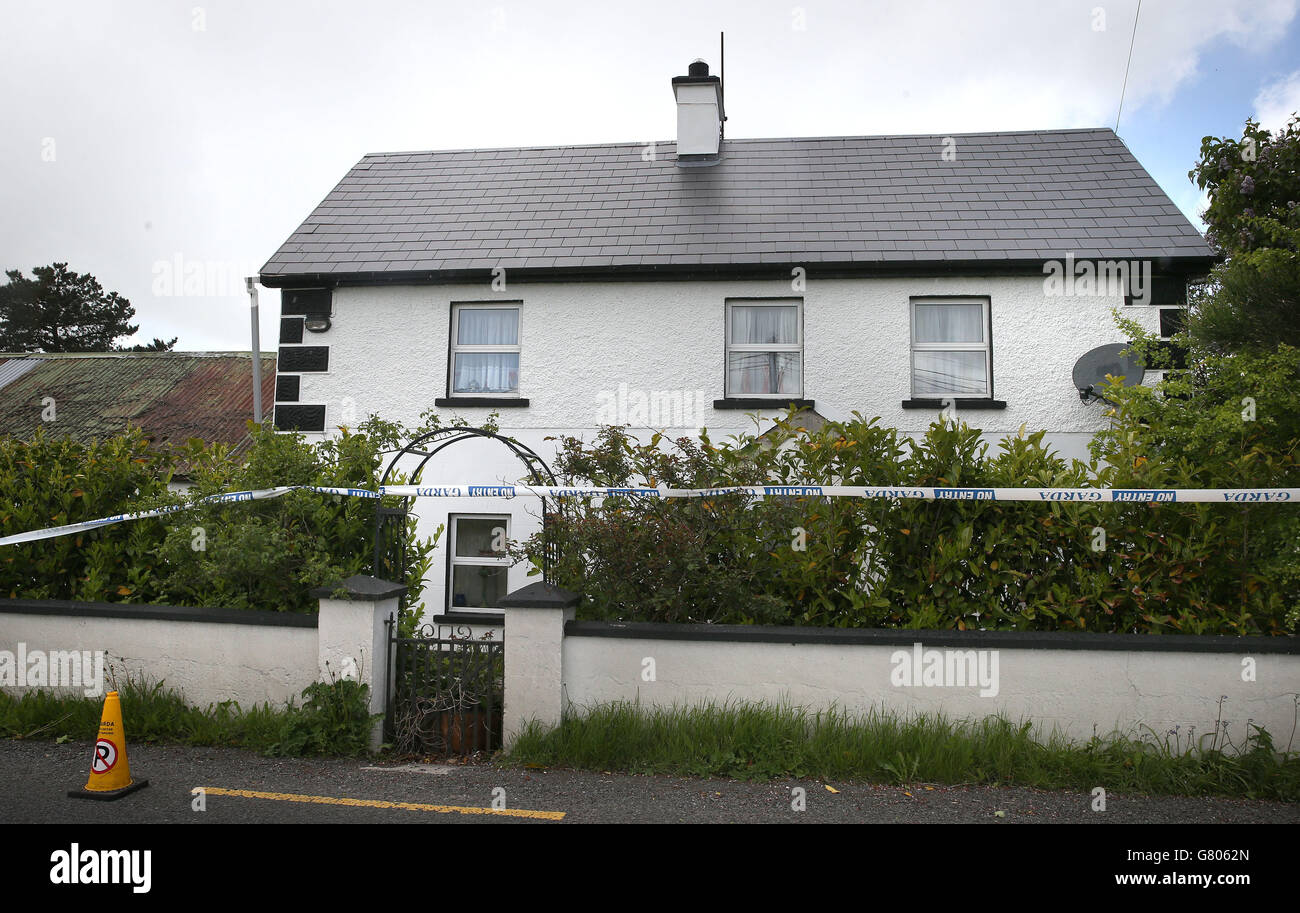 Enclosure in BoolaglassEnclosure · 1087 yd
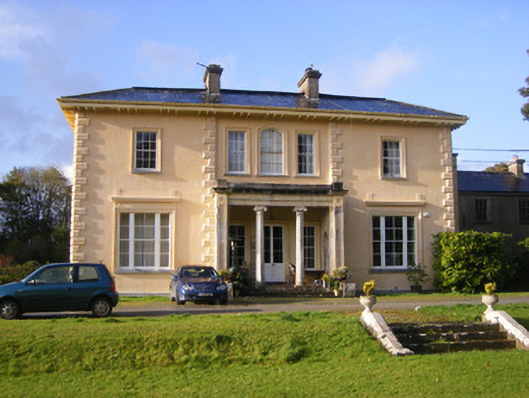 Nantinan Housecountry house · 1213 yd
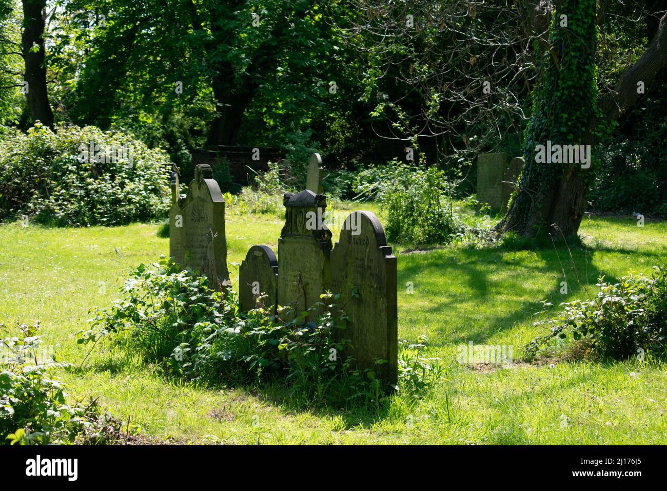 Grave YardGraveyard · 1660 yd
 Milltown Castle (in ruins)Castle, tower house · 1.1 mi
 Bawn in StonevilleBawn · 2.2 mi
 Askeaton CastleHeritage attraction · 2.2 mi
 Flat cemetery in CroaghFlat cemetery · 3.2 mi
 Little HeavenHeritage attraction · 3.3 mi
 European YewEuropean Yew · 3.8 mi
 Holly IslandIslet · 4.0 mi
 TobernablahySpring · 4.1 mi