What is recorded here
On an ENE-facing hillside in pasture. A raised oval area (37.2m WNW–ESE; 31.4m NNE–SSW) enclosed by a low narrow bank of earth and stone (Wth 2m; H 1m) with a shallow internal fosse (Wth 2.9-3.8m; D 0.3m). A narrow shallow external fosse is probably a modern drainage feature. From WNW–N–E the bank has been modified and incorporated into a field boundary and there is no visible trace of the outer fosse. The original entrance is not recognisable. The monument is densely overgrown with vegetation.
Compiled by: Patrick F. O'Donovan
Date of upload: 23 Novmeber 2011
This remains an important historical record, but the official description says the monument is no longer visible or has been destroyed. The monument record does not grant public access. Check the route and ask the landowner before entering private land.
- What survives
- No visible remains or recorded as destroyed
Places near here
 Site of churchRuins · 671 yd
 Church (Site of)Church · 671 yd
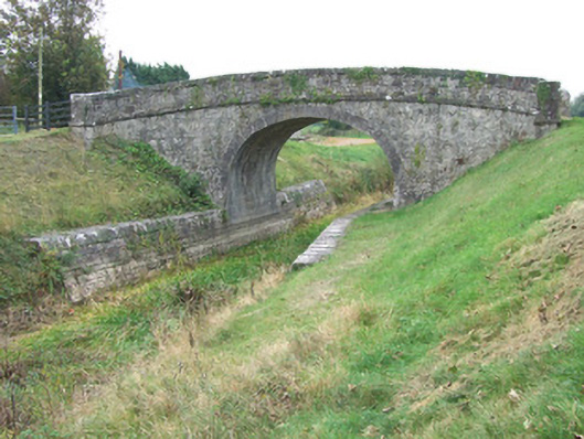 Ards Bridgebridge · 679 yd
 Bawn in BallyknockBawn · 976 yd
 StructureStructure, peatland · 1400 yd
 CastleCastle, unclassified · 1.4 mi
 Corlea Bog Walk Blue LoopWalking route · 2.0 mi
 Corlea Trackway Interpretative CentreHeritage attraction · 2.1 mi
 Graveyard in Curry (ardagh By., Coolamber Ed)Graveyard · 3.2 mi
 White Sand WoodWood · 6.3 mi
 Wild birdsVisitor information · 6.4 mi
 Commons North WalkVisitor information · 6.5 mi