What is recorded here
No visible remains exist at Ardragh, yet the 1834 map marked a thirty-metre fort where human hands may have shaped the ridge. The drawing captured a boundary now hidden beneath pasture and time. What the line enclosed, who stood inside it, and why the shape survived long enough to be drawn are no longer certain.
Located at the SE end of a small NW-SE ridge in a fairly low-lying area between drumlins. A small embanked enclosure (ext. diam. c. 30m) is depicted only on the 1834 edition of the OS 6-inch map where it is described in gothic lettering as a ‘fort’. No archaeological feature is visible at ground level in improved pasture.
The above description is derived from the published 'Archaeological Inventory of County Monaghan' (Dublin: Stationery Office, 1986). In certain instances the entries have been revised and updated in the light of recent research.
Date of revision: 4 January 2012
Revised by: Claire Breen
The monument record does not grant public access. Check the route and ask the landowner before entering private land.
- What survives
- Recorded monument
Places near here
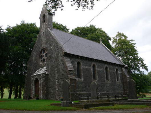 Saint Patrick's Church (Magheross)church/chapel · 312 yd
 Corvally Presbyterian Churchchurch/chapel · 576 yd
 RaferaghMountain / peak · 1.1 mi
 Lisdrumturk fortFairy fort / earthen ringfort · 1.2 mi
 Hut site in RaferaghHut site · 1.5 mi
 Bawn in LisdrumskeaBawn · 2.4 mi
 Sillan LakeshoreWood · 2.5 mi
 NorthlandsWood · 2.6 mi
 Bush IslandIslet · 2.6 mi
 Gull IslandIslet · 2.8 mi
 CarrickcreenyMountain / peak · 2.9 mi
 Senator Billy Fox 1939 - 1974Memorial · 4.9 mi