What is recorded here
No visible castle or church remains, only a shallow saucer in the pasture and a hidden passage beneath the grass. The fort is gone except for the shape of its absence.
In pasture, on SW-facing slope. Levelled; saucer-shaped area (c. 31m N-S; c. 32m E-W) defined by low rise (H 0.5m). Man-made underground passage (CO053-083---) in interior.
The above description is derived from the published 'Archaeological Inventory of County Cork. Volume 2: East and South Cork' (Dublin: Stationery Office, 1994). In certain instances the entries have been revised and updated in the light of recent research.
Date of upload/revision: 14 January 2009
The monument record does not grant public access. Check the route and ask the landowner before entering private land.
- What survives
- Recorded monument
Places near here
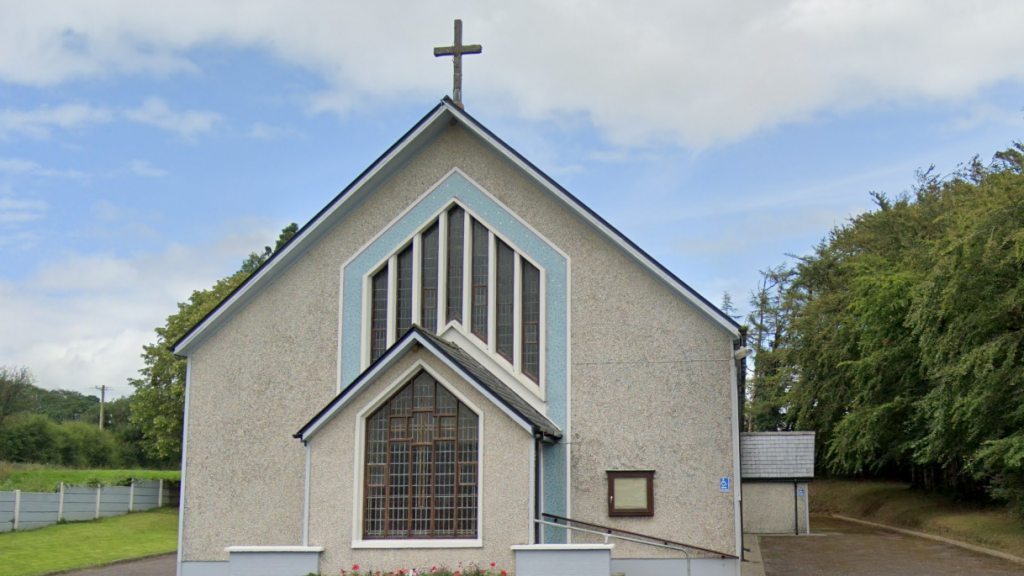 Church (in Ruins)Church · 270 yd
 Man-made underground passage in Ardnageehy EastMan-made underground passage · 381 yd
 Enclosure in Ballynaglogh EastEnclosure · 1.3 mi
 Trout Brook Bridgebridge · 1.5 mi
 Graveyard in Killuntin NorthGraveyard · 1.7 mi
 Graveyard in GlenvilleGraveyard · 2.1 mi
 Castle (Site of)Castle, unclassified · 2.5 mi
 Castle (in Ruins)Castle, tower house · 4.3 mi
 Moanbaun ForestForest · 4.4 mi
 Devonshire's HillMountain / peak · 4.5 mi
 Monananig WoodsWood · 4.9 mi
 Cork WalksVisitor information · 9.0 mi