What is recorded here
Mortons and others still call it a fairy fort, though it is an earthen ringfort beside a farmhouse in Ardgoul North. Its shallow bank and scarped edge circle about sixteen metres across limestone pasture, half hidden by growth and marked by a modern concrete platform nearby. The fairies may be a joking excuse for leaving it alone, but the shape is human enough: a small defended or claimed place, reduced now to a ridge in the grass.
In gently undulating pasture, in area of outcropping limestone. Roughly circular area (diam. c. 16m) enclosed by earth-and-stone bank (int. H 0.5m; ext. H 0.7m) W->SSW and defined by scarped edge (H 0.7m; Wth 4m) SSW->NNE. Enclosing element is masked by overgrowth NNE->W. Interior slopes down to NE and is partially covered by overgrowth. Dry-stone wall immediately to W separates enclosure from orchard and farmhouse. Large rectangular concrete platform has been built c. 4m E of edge of enclosure.
Compiled by: Denis Power
Date of upload: 26 August 2011
The monument record does not grant public access. Check the route and ask the landowner before entering private land.
- What survives
- Recorded monument
Places near here
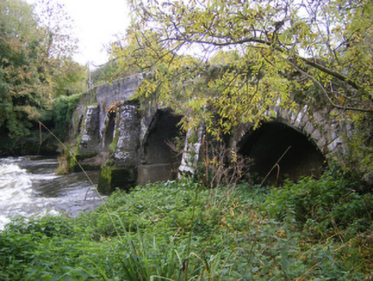 bridgebridge · 519 yd
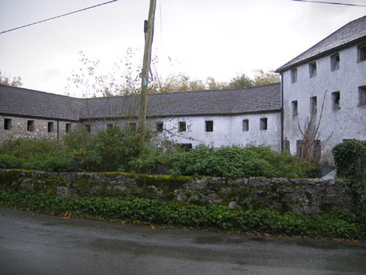 Altavilla Millmill (water) · 551 yd
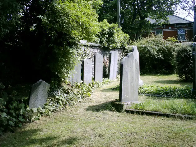 Burial in BallyanBurial · 1587 yd
 IndicatedFairy fort / stone ringfort · 1619 yd
 Bawn in StonevilleBawn · 1.1 mi
 Milltown Castle (in ruins)Castle, tower house · 1.2 mi
 TobernablahySpring · 2.5 mi
 St. Kieran's WellSpring · 3.1 mi
 Askeaton CastleHeritage attraction · 3.1 mi
 Flat cemetery in CroaghFlat cemetery · 3.8 mi
 Holly IslandIslet · 4.6 mi
 European ashEuropean ash · 4.7 mi