What is recorded here
Ardgehane is a circular earthen ringfort in rolling pasture, commanding an extensive southern view across Clonakilty Bay. Its bank and fosse mark a small defended or domestic site, likely occupied when people valued that wide maritime outlook. The name and form suggest human life, not fairy invention, though local tradition may still dress the stones in wonder.
In rolling pasture, commanding extensive view S across Clonakilty Bay. Circular area (30m ENE-WSW; c. 25.4m ESE-WNW) defined by earthen bank (H 0.8m) WSW->NNW, with external fosse (D 1m); levelled bank survives as slight scarp NNW->WSW (H 0.2m).
The above description is derived from the published 'Archaeological Inventory of County Cork. Volume 1: West Cork' (Dublin: Stationery Office, 1992). In certain instances the entries have been revised and updated in the light of recent research.
Date of upload/revision: 14 January 2009
The monument record does not grant public access. Check the route and ask the landowner before entering private land.
- What survives
- Recorded monument
Places near here
 LismahonFairy fort / earthen ringfort · 856 yd
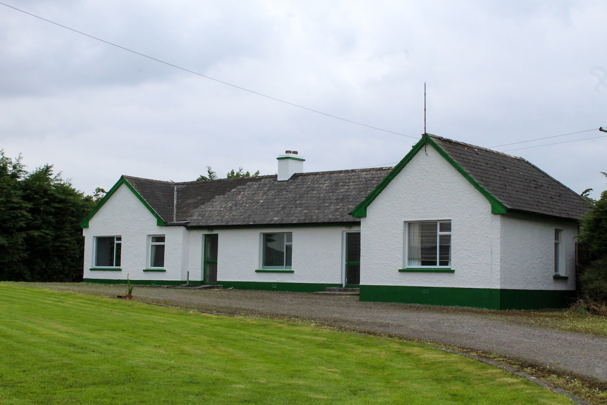 IndicatedQuarry · 1093 yd
 Quarry in RocksavageQuarry · 1709 yd
 Castle (in Ruins)Castle, unclassified · 1.0 mi
 Views Simon's CoveViewpoint · 1.2 mi
 Killeen Burial Gd. (Children) (Disused)Burial ground · 1.3 mi
 Flat Rocks Simon's CoveViewpoint · 1.4 mi
 Castle (Site of)Castle, unclassified · 1.5 mi
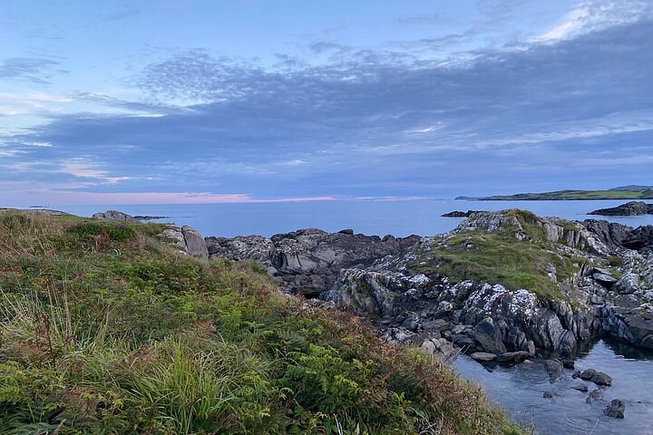 Interesting Cliffs RingCliff · 1.6 mi
 Stoney Beach RingBeach / strand · 2.1 mi
 Michael Collins CentreMuseum · 2.5 mi
 Inchydoney BeachBeach / strand · 2.9 mi