What is recorded here
Situated on a low hill, in pasture, with wide views of the surrounding landscape. Depicted on the revised 1910 ed. OS 25-inch map as a roughly oval-shaped enclosure. Monument described in 1973 as a roughly oval-shaped enclosure bisected by a townland boundary running N-S, the E half of the monument being completely levelled in the townland of Ardan. The W half of the earthwork in the townland of Grange and Kiltober survives as a roughly D-shaped area (dims. 32m N-S) enclosed by a low earthen bank with an external fosse. This bank and fosse are visible from S-W-NNW. The fosse has been partly infilled with debris and stones. The surviving W half of the monument is obscured by scrub today on Digital Globe aerial photography and there is no trace of the E half.
Compiled by Alison McQueen, Vera Rahilly and Caimin O’Brien.
Date of upload: 18 December 2019
This remains an important historical record, but the official description says the monument is no longer visible or has been destroyed. The monument record does not grant public access. Check the route and ask the landowner before entering private land.
- What survives
- No visible remains or recorded as destroyed
Places near here
 Bonfire HillMountain / peak · 731 yd
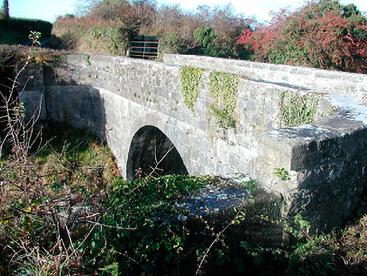 Grange Bridgebridge · 816 yd
 Ardan WoodWood · 1055 yd
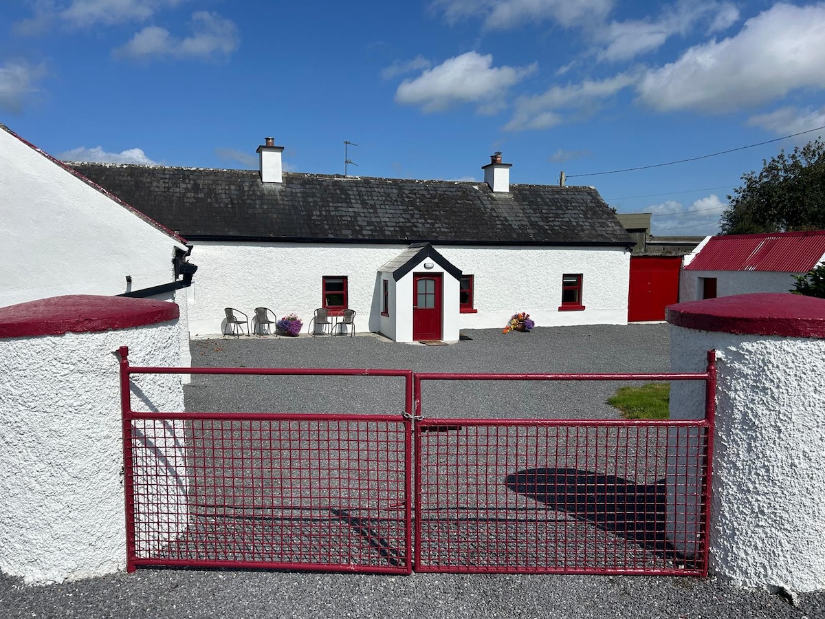 KilnahornaChurch · 1081 yd
 OutlinedFairy fort / ringfort · 1720 yd
 Rahugh MoatCastle, motte and bailey · 1.3 mi
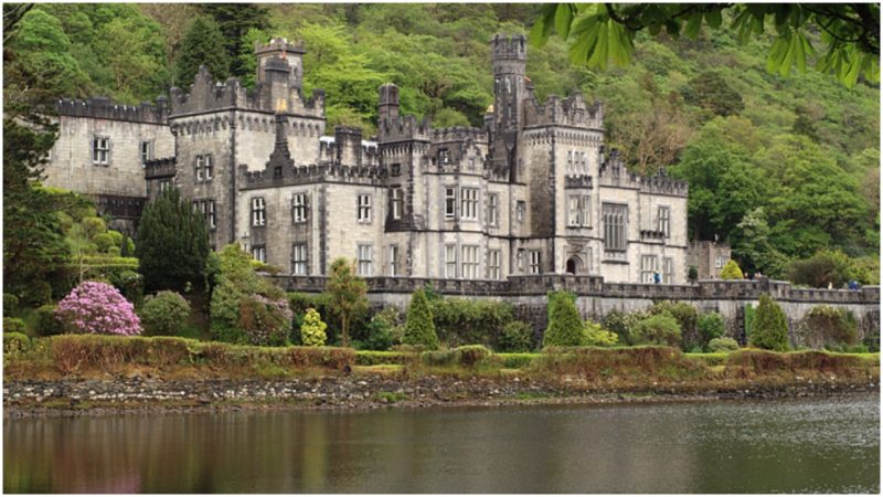 Kiltober CastleCastle, tower house · 1.7 mi
 CloghstuckArchaeological place · 1.8 mi
 Durrow HillMountain / peak · 2.3 mi
 Bracklin WoodWood · 2.4 mi
 St. Columba's WellSpring · 3.4 mi
 Grand Canal WayWalking route · 5.1 mi