What is recorded here
Fairy fort is a circular grass-covered area just SW of the drumlin summit in Annahagh South, defined by a 5m-wide earthen bank and outer fosse. The present entrance at SW may mark the original opening, while the eastern gap suggests the ring was never complete or has changed beyond recognition. People may have lived, hidden or marked boundary there before the land took the shape back.
Located just SW of the summit of a drumlin. This is a circular grass-covered area (diam. 46.5m NW-SE; 42.5m NE-SW) defined by an earthen bank (Wth c. 5m; int. H 0.3m at N to 1m at E and S; ext. H c. 1.5-1.8m) and hedge with an outer fosse (Wth of top c. 1.5-2m; D 0.3-0.6m) that is absent at the E. The present entrance is at SW and may be on the site of the original.
The above description is derived from the published 'Archaeological Inventory of County Monaghan' (Dublin: Stationery Office, 1986). In certain instances the entries have been revised and updated in the light of recent research.
Date of revision: 30 August 2017
The monument record does not grant public access. Check the route and ask the landowner before entering private land.
- What survives
- Recorded monument
Places near here
 ENCLOSURE in CloghmoreENCLOSURE · 1627 yd
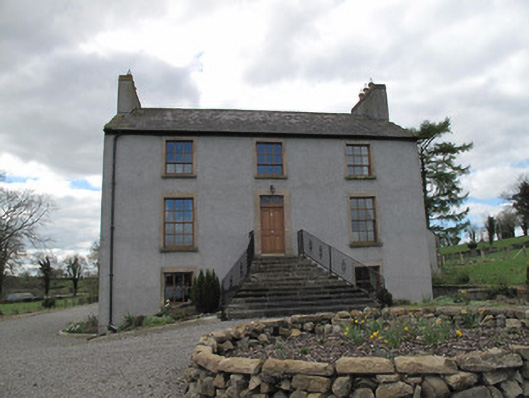 Kilcorran Househouse · 1649 yd
 IndicatedCrannog · 1713 yd
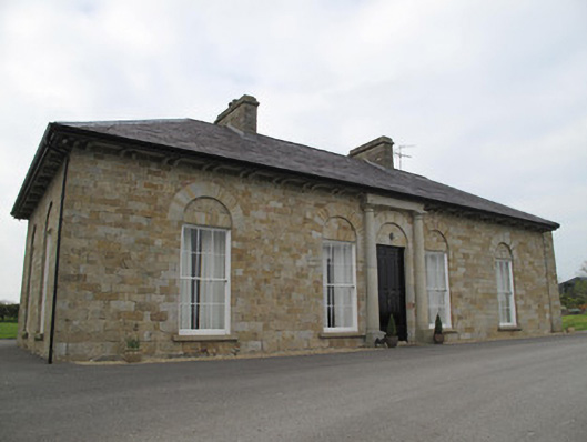 Loughoony Househouse · 1.2 mi
 Jaundice WellSpring · 2.1 mi
 Rough HillMountain / peak · 2.8 mi
 Roosky Castle (Site of)Castle, ringwork · 3.2 mi
 Lisarrilly HillMountain / peak · 3.4 mi
 KillycoonaghWood · 4.2 mi
 Hazel WoodWood · 4.3 mi
 Saint John's WellSpring · 4.4 mi
 Sliabh Beagh Hotel and Tourism CentreVisitor information · 5.0 mi