What is recorded here
Situated on the E side of a high prominent ridge with good views of undulating land to NE, E and SE. Depicted on the revised 1913 ed. OS 6-inch map as a roughly oval-shaped earthwork. Partially levelled monument described in 1971 and 1976 as a broad oval-shaped area (dims. 35m N-S; 25.6m E-W) defined by the faint traces of a levelled scarp. There is no visible evidence of an external fosse. The entrance may have been at E, where there is a wide gap (Wth at top 9.7m; basal Wth 3.5m) in the levelled scarp. The interior appears to have had a relatively steep W-facing slope. Now located in the front garden of a modern house which is visible today on Digital Globe aerial photographs.
Compiled by: Alison McQueen, Vera Rahilly and Caimin O’Brien
Date of upload: 17 July 2019
The monument record does not grant public access. Check the route and ask the landowner before entering private land.
- What survives
- Recorded monument
Places near here
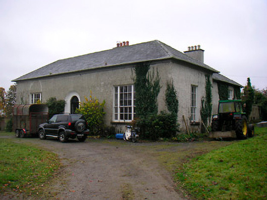 Easthill Househouse · 424 yd
 OutlinedFairy fort / earthen ringfort · 675 yd
 Promontory fortPromontory fort, inland · 1435 yd
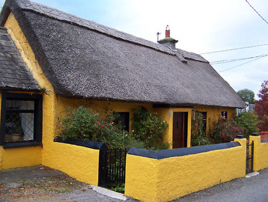 Rose Cottagehouse · 1459 yd
 Temple's IslandIslet · 1634 yd
 Old Castle (in ruins)Castle, unclassified · 1.1 mi
 Killinure BayBay · 1.4 mi
 Bunown CastleCastle · 1.6 mi
 Thatch IslandIslet · 1.9 mi
 Crannells NookBay · 2.3 mi