What is recorded here
Half a metre of clay and a forgotten ditch. The fairies never lived there; people did. They dug the ring, packed the soil, and left it to the rain. The bog kept the shape when the names disappeared.
In southern portion of Annagh bog. Circular area (31m NE-SW; 30m NW-SE) enclosed by two earthen banks with intervening fosse and external fosse S->E; counterscarp bank (H 0.25m) to S and E. Inner bank (int. H 0.3m) survives best to W; disturbed NE->SE by drains. Outer bank (H 1.85m) more substantial than inner bank. Intervening fosse and external fosse (D 0.25m) mainly muddy and waterlogged. To SE two parallel banks edge opening through outer bank and external fosse. Oval enclosure (CO007-07202-) lies 22m to E.
The above description is derived from the published 'Archaeological Inventory of County Cork. Volume 4: North Cork' (Dublin: Stationery Office, 2000). In certain instances the entries have been revised and updated in the light of recent research.
Date of upload/revision: 14 January 2009
The monument record does not grant public access. Check the route and ask the landowner before entering private land.
- What survives
- Recorded monument
Places near here
 TumulusMound · 715 yd
 Enclosure in Annagh NorthEnclosure · 743 yd
 Castle (Site of)Castle, unclassified · 1287 yd
 Annagh Bridgebridge · 1332 yd
 Windmill HillMountain / peak · 1.4 mi
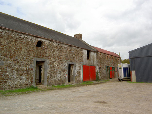 Cooliney Houseoutbuilding · 1.5 mi
 CastleCastle, motte · 1.5 mi
 Ballyhoura WayWalking route · 1.9 mi
 Churchtown TrailsVisitor information · 3.4 mi
 Battle of LiscarrollMajor battlefield · 4.1 mi
 CarrigeenMountain / peak · 4.5 mi
 Buttevant Rail DisasterMemorial · 4.8 mi