What is recorded here
Fairy forts in County Meath are earthen ringforts, human-made raths from before written records. Annagh is no exception, though the fort has vanished under pasture and time. What remains is a shape on an old map and a suggestion in the land, not a fantasy. The fairies inherited what people forgot.
Situated on rise in an undulating landscape. A small D-shaped embanked enclosure (ext. dims c. 40m NW-SE; c. 35-40m NE-SW) with straight sides at SE and SW is depicted only on the 1836 edition of the OS 6-inch map where it is described in gothic lettering as a ‘Fort’. No archaeological feature is visible at ground level in improved pasture, but it was probably a rath.
The above description is derived from the published 'Archaeological Inventory of County Meath' (Dublin: Stationery Office, 1987). In certain instances the entries have been revised and updated in the light of recent research.
Compiled by: Michael Moore
Date of revision: 22 November 2018
The monument record does not grant public access. Check the route and ask the landowner before entering private land.
- What survives
- Recorded monument
Places near here
 Enclosure in Annagh (fore By.)Enclosure · 498 yd
 Field system in Annagh (fore By.)Field system · 501 yd
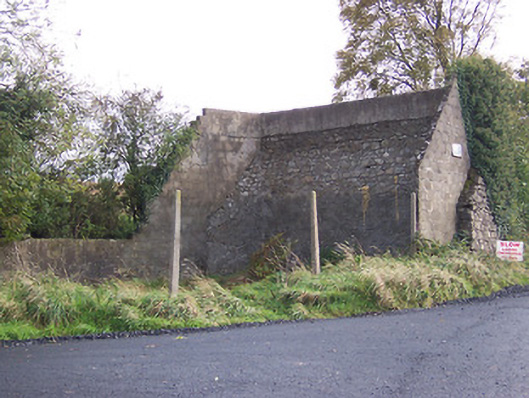 handball alleyhandball alley · 1355 yd
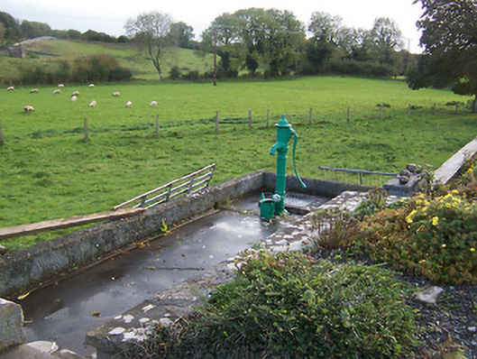 water pumpwater pump · 1405 yd
 Hilltown Castle (in ruins)Castle, tower house · 1618 yd
 European BeechEuropean Beech · 1.2 mi
 CastleCastle, unclassified · 1.4 mi
 Mullaghmeen ForestPicnic place · 2.6 mi
 Seafin HillMountain / peak · 2.8 mi
 Zip WireHeritage attraction · 3.6 mi
 European YewEuropean Yew · 3.6 mi
 Mount FortuneMountain / peak · 3.8 mi