What is recorded here
Annacroff held a true ringfort on a drumlin crest, a circular grass bowl thirty-eight metres across where earthen banks and hedges enclosed human life before modern wheels erased the perimeter. The fort vanished by 1995, yet the dividing field bank still cuts across the ghost of its interior, preserving the shape of a house that no longer exists.
Located at the crest of the N-facing slope of a drumlin. It was described in 1967 (SMR file) as a circular grass-covered area (diam. 37.8m N-S) that sloped down to the N (H 1.4m), which was defined by an earthen bank (at N: Wth of base 7.4m; Wth of top 1.8m; int. H 1.6m; ext. H 1.2m) and hedge, with traces of a fosse (at SW: Wth of base 1.8m; ext. D 0.45m) S-W. The perimeter was reduced to a scarp (at N: Wth 3.4m; H 1m) NW-NE on the downslope side. There was a modern entrance at SSW, but the original entrance was not identified. The interior was bisected by a NE-SW field bank. The rath had been removed by 1995 (OSI images) but miraculously, the dividing field bank survived. Rath (MO031-085----) is c. 70m to the SE.
The above description is derived from the published 'Archaeological Inventory of County Monaghan' (Dublin: Stationery Office, 1986). In certain instances the entries have been revised and updated in the light of recent research.
Date of revision: 31 July 2017
The monument record does not grant public access. Check the route and ask the landowner before entering private land.
- What survives
- Recorded monument
Places near here
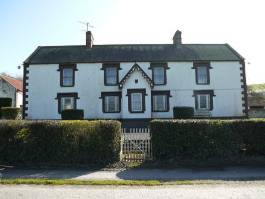 farm housefarm house · 388 yd
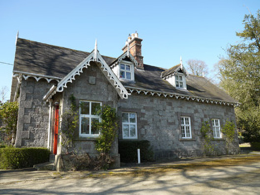 Corcrin Househouse · 593 yd
 Man-made underground passage in TrostanMan-made underground passage · 1096 yd
 Crannog in Drummond OtraCrannog · 1.2 mi
 CastleCastle, motte and bailey · 1.9 mi
 Horse-chestnutHorse-chestnut · 2.4 mi
 European BeechEuropean Beech · 2.5 mi
 Mannan Castle (in ruins)Castle, Anglo-Norman masonry castle · 2.9 mi
 Flat cemetery in AnnaheanFlat cemetery · 3.4 mi
 TobernagalliaghSpring · 4.2 mi
 BarleyhillMountain / peak · 5.4 mi
 CabraMountain / peak · 6.2 mi