What is recorded here
An Fál Carrach preserves the west half of a circular earthwork beside a road that likely destroyed the rest. The remaining bank barely rises above the grass, yet large stones still glint along its outer edge like forgotten bones. That much of a fort disappeared so cleanly suggests human ambition and ordinary forgetfulness sharing the same soil.
Internal diam. c. 17m N-S. The W half of a formerly circular enclosure alongside a road, which presumably destroyed the other half. A grassed-over bank, not exceeding .5m high and in places almost totally defaced survives with the edge of some large stones visible along the outer face. It is not clear if this is a ruined cashel or if the stony nature of the bank can be accounted for by the occurrence of gravel deposits here. A modern stone field bank crosses the level interior E-W about mid way. The site is on level ground at the top of a steep W facing slope in grazing land.
The above description was derived from the 'Archaeological Survey of County Donegal. A description of the field antiquities of the County from the Mesolithic Period to the 17th century.' Compiled by: Brian Lacey with Eamon Cody, Claire Cotter, Judy Cuppage, Noel Dunne, Vincent Hurley, Celie O'Rahilly, Paul Walsh and Seán Ó Nualláin (Lifford: Donegal County Council, 1983). In certain instances the entries have been revised and updated.
Date of upload: 22 September 2008
Excavation licence number 02E0909
Testing was carried out on 24 June 2002 in compliance with a condition of planning permission for the construction of eight houses. The site lies partly within the constraint area of SMR 25:40, an unlocated holy well, and close to SMR 25:39, a ringfort. Another ringfort (SMR 25:43), the ruined Tullaghobegley Church (SMR 25:42) and the site of a removed court tomb (SMR 25:41) are nearby. Before testing, a well-preserved limekiln was observed in the southern part of the site, but this will not be affected by the proposed development. Seventeen trenches were opened, all revealing a similar stratigraphy. Topsoil and sod consistently overlay blue/grey boulder clay, which in turn overlay an iron-rich, yellow/brown clay with fragments of schist bedrock. Nothing of archaeological significance was recorded in any of the trenches. (Excavations Bulletin 2002)
Tom Rogers, Moore Ltd, Unit 6, Riveroaks, Claregalway, Co. Galway.
The monument record does not grant public access. Check the route and ask the landowner before entering private land.
- What survives
- Recorded monument
Places near here
 IndicatedChurch · 367 yd
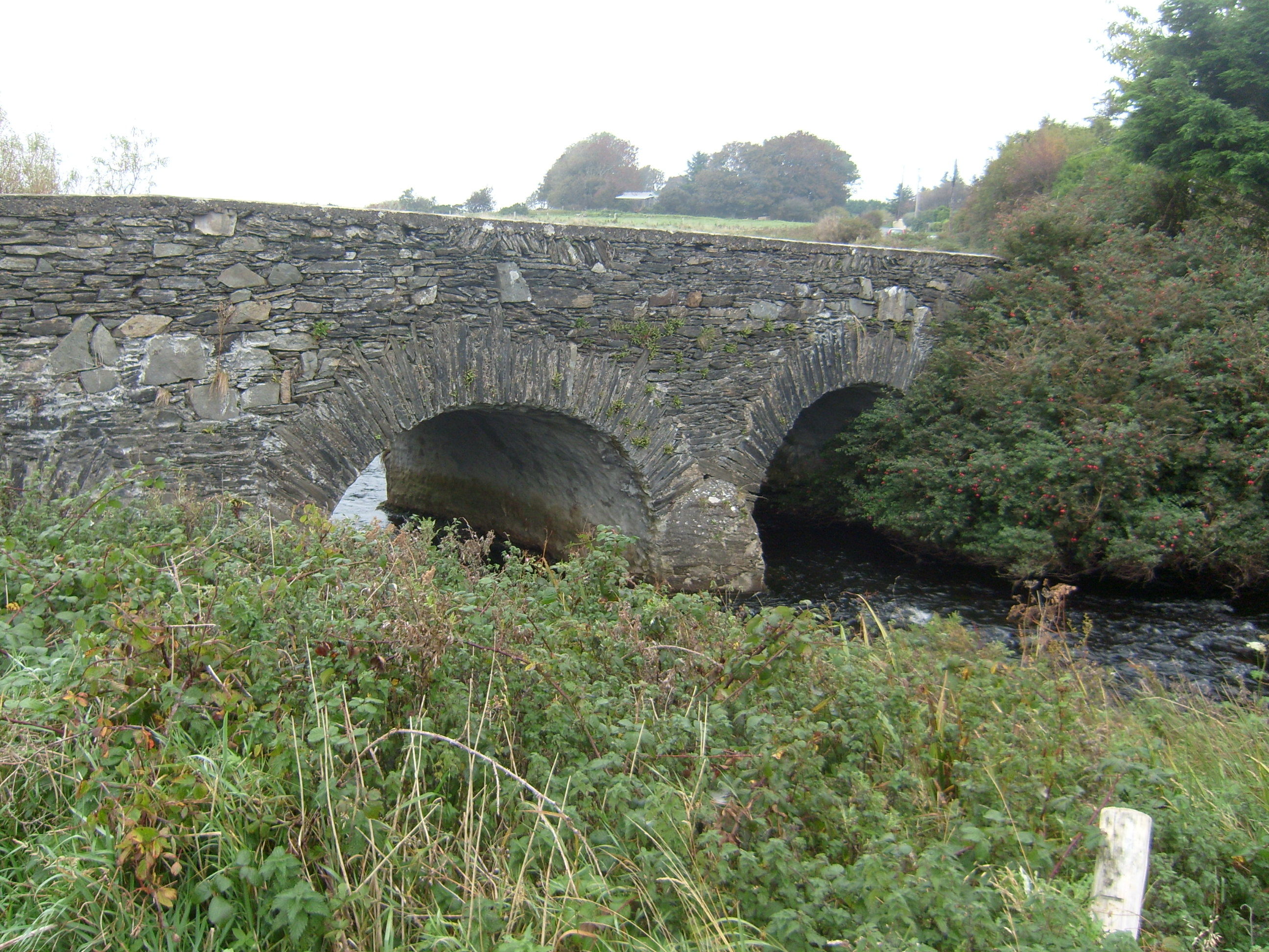 Tullaghobegly Bridgebridge · 759 yd
 Enclosure in An Cheathrú CheanainnEnclosure · 872 yd
 Cashelmacadowan FortFairy fort / stone ringfort · 1010 yd
 Monterey CypressMonterey Cypress · 1.0 mi
 Castle Bawne (in Ruins)Bawn · 1.1 mi
 Wych ElmWych Elm · 1.1 mi
 Trá Dhroim na TineBeach / strand · 2.0 mi
 DrumnatinnyOfficial bathing water · 2.4 mi
 MuckishMountain / peak · 4.4 mi
 The Bridge of TearsMemorial · 4.4 mi
 Inis Bó FinneIsland · 4.5 mi