What is recorded here
Magic and myth are not the same. That is all.
Internal diam. 28.5m SE-NW, 32m NE-SW
Situated on a gentle SE facing slope on the E side of Drom Hill. A roughly circular area is enclosed by a single earthen bank ranging in height from .25m internally and .9m externally on the downslope side to 1.1m internally and .2m externally on the upslope side. Loose stones, scattered along the inner and outer faces, may indicate the former presence of drystone revetment walling. A field wall has replaced the bank in the NE quadrant but probably follows its original line. Another field wall runs immediately outside the bank in the ESE sector.
A circular stone hut occurs a little SW of the centre of the enclosure. The remains consist of a circular, collapse filled depression surrounded by a grass-grown bank of stones averaging .8m in height externally, .65m internally and 2m in width. A short stretch of the inner wall face is visible to NW and the internal diameter is approximately 4.1m NE-SW and 4.4m SE-NW. Adjoining this to NE is a raised area formed by a grass-grown spread of loose stones. The centre of this area is slightly depressed and may mark the site of a 2nd and possibly a 3rd hut.
The above description is derived from J. Cuppage, ‘Corca Dhuibhne. Dingle Peninsula archaeological survey. Ballyferriter. Oidhreacht Chorca Dhuibhne’ (1986), no. 400. In certain instances the entries have been revised and updated in the light of recent research.
Date of upload: 6 August 2013
The monument record does not grant public access. Check the route and ask the landowner before entering private land.
- What survives
- Recorded monument
Places near here
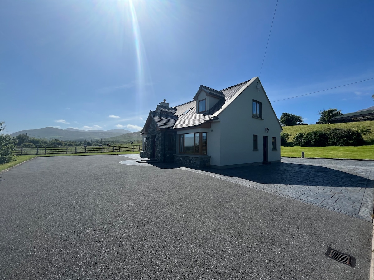 Hut site in An Droim ThoirHut site · 217 yd
 Drom BeachBeach / strand · 383 yd
 Enclosure in Cnoc Na NgabharEnclosure · 969 yd
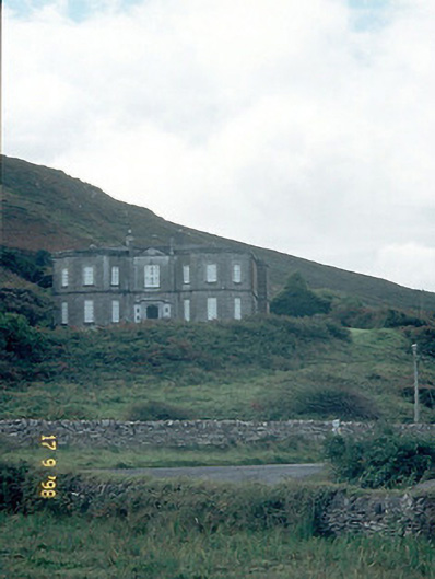 Fermoyle Househouse · 1458 yd
 Site of CastleCastle, unclassified · 1495 yd
 An t'Oileán DubhIslet · 1584 yd
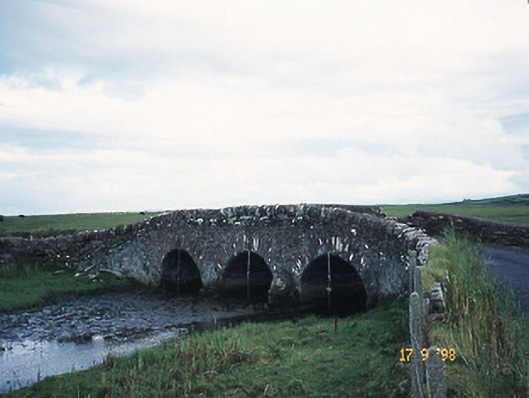 bridgebridge · 1659 yd
 An CheapaighBeach / strand · 1.1 mi
 Hillville WoodWood · 1.3 mi
 Pointe na CathrachHeadland · 1.8 mi
 Binn an TuairMountain / peak · 2.2 mi
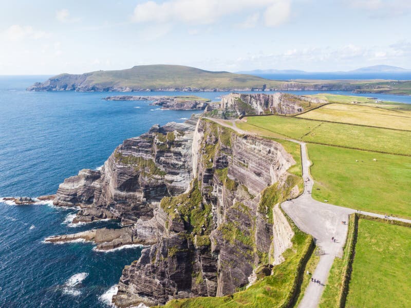 An Com BánMountain / peak · 2.5 mi