What is recorded here
Fairy people never build walls straight. They pull soil from beneath the grass and shape it into circles because rounding belongs to breath, not human law. An Coimín keeps that shape on elevated pasture above the River Reelan. Its south bank still rises one metre while the north has been taken, leaving a shallow chamber where shadow arrives earlier and departs later. People may have lived there, or may have avoided it, but the ground still refuses to be measured like an ordinary field.
Internal diam. 19.3m. Originally a circular area enclosed by an earthen bank which survives to a height of 1.1m on the S side, the N half having been removed. The interior is level. It is situated on elevated pasture land sloping SE towards the River Reelan.
The above description was derived from the 'Archaeological Survey of County Donegal. A description of the field antiquities of the County from the Mesolithic Period to the 17th century.' Compiled by: Brian Lacey with Eamon Cody, Claire Cotter, Judy Cuppage, Noel Dunne, Vincent Hurley, Celie O'Rahilly, Paul Walsh and Seán Ó Nualláin (Lifford: Donegal County Council, 1983). In certain instances the entries have been revised and updated.
Date of upload: 22 September 2008
The monument record does not grant public access. Check the route and ask the landowner before entering private land.
- What survives
- Recorded monument
Places near here
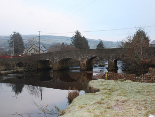 Reelan Bridgebridge · 482 yd
 Holy WellHoly well · 854 yd
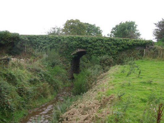 bridgebridge · 1.5 mi
 AltnapasteMountain / peak · 1.5 mi
 Fairy fort / stone ringfort in An Chluain ChlaíochFairy fort / stone ringfort · 1.6 mi
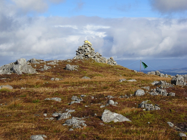 Gaugin MountainMountain / peak · 2.6 mi
 Drumboe WoodForest recreation place · 7.6 mi
 Ard na Mona WoodOfficial walking route · 8.4 mi
 Meenachullion Nature ReserveNational nature reserve · 8.5 mi
 Old CastleCastle, tower house · 9.6 mi
 Newmills Corn and Flax MillsHeritage attraction · 9.9 mi
 Dermot & Grania's BedCave · 10 mi