What is recorded here
Altnapaste holds a broken earthen ring where a tall platform still rises above wet pasture. The surviving bank is low, but the wide flat centre remains visible, suggesting a substantial building or defensive work has since collapsed. Local tradition calls it a fairy fort, which may reflect admiration for its unusual shape rather than belief in occupancy.
Internal diam. 23.5m. A subcircular apparently artificially raised platform, 4m above the surrounding land, is now only partially enclosed by a surviving arc of earthen bank .35m high. It is situated in rough, wet pasture with good views.
The above description was derived from the 'Archaeological Survey of County Donegal. A description of the field antiquities of the County from the Mesolithic Period to the 17th century.' Compiled by: Brian Lacey with Eamon Cody, Claire Cotter, Judy Cuppage, Noel Dunne, Vincent Hurley, Celie O'Rahilly, Paul Walsh and Seán Ó Nualláin (Lifford: Donegal County Council, 1983). In certain instances the entries have been revised and updated.
Date of upload: 22 September 2008
The monument record does not grant public access. Check the route and ask the landowner before entering private land.
- What survives
- Recorded monument
Places near here
 Altnapaste Bridgebridge · 343 yd
 Holy WellHoly well · 1090 yd
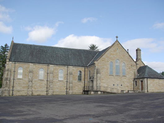 Our Lady of Perpetual Helpchurch/chapel · 1627 yd
 IndicatedFairy fort / ringfort · 1.0 mi
 AltnapasteMountain / peak · 1.4 mi
 Gorey HillMountain / peak · 1.5 mi
 Drumboe WoodForest recreation place · 4.8 mi
 Newmills Corn and Flax MillsHeritage attraction · 8.5 mi
 Site of Castle SollusCastle, unclassified · 8.9 mi
 Battle of Scarrifholisbattle · 8.9 mi
 Killeter ForestForest · 9.4 mi
 Ard na Mona WoodOfficial walking route · 9.8 mi