What is recorded here
Fairy forts are human ringforts misnamed, and this is one: an oval rath at the west foot of a long slope in Alliganstown, County Kildare, with a causeway entrance at east-southeast and a small stream running south of it. The outer bank has been levelled into the fosse from southeast through west to northeast, but the inner bank, flat-bottomed ditch and outer ridge still mark a deliberate boundary in wet rushy pasture. People may have kept stock, hidden in storms or simply lived there before the fields changed; the name fairy fort is later invention, not admission that fairies built it.
At the W-foot of a long moderately steep slope in wet rushy pasture, with a small stream flowing E immediately to the S of the monument. A fairly poorly preserved oval area (int. diams. 23m N-S; 18m E-W; ext diams. 50m N-S; 42m E-W) is defined by a low inner earthen bank (int. H 0.2-0.8m; Wth across top 0.9-1.5m; ext H 2-2.9m), and by a flat-bottomed fosse (Wth 2.1m: D 0.8m) and a second, outer bank (int H 0.8m; Wth across top 1.8m; ext H 1.6m) ENE-SE. From SE-W-N-ENE the outer bank has been levelled into the fosse. The original entrance lies at ESE with corresponding gaps in the inner (Wth 1.3m) and outer (Wth 2.7m) banks and a causeway (Wth 4.2m; L 6.1m) across the intervening fosse. Internally, the N-half of the monument is slightly higher (H 0.6m) than the S-half.
Compiled by: Gearóid Conroy
Date of upload: 16 September 2013
The monument record does not grant public access. Check the route and ask the landowner before entering private land.
- What survives
- Recorded monument
Places near here
 IndicatedBurial mound · 1615 yd
 Church (in Ruins)Church · 1721 yd
 St. Johns WellHoly well · 1.0 mi
 Castle in ruinsCastle, unclassified · 1.1 mi
 English hollyEnglish holly · 1.7 mi
 Burial ground in CrehelpBurial ground · 1.7 mi
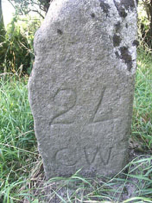 milestone/milepostmilestone/milepost · 1.8 mi
 Castle BankCastle, motte and bailey · 2.0 mi
 Saint Kevin's CaveMemorial · 2.0 mi
 European YewEuropean Yew · 2.0 mi
 Hollywood SignHeritage attraction · 2.2 mi
 Memorial to 1798 rebellionMonument · 3.6 mi