What is recorded here
Fairy fort in Airgloony, County Galway: an earthen ringfort on a gentle slope above the Clare River, recorded as an oval enclosure about fifty by thirty-five metres. No surface trace remains, yet the shape endures in memory and map. People may have lived there, marked the river bend, or left before the land took the boundary back.
On a gentle SW-facing slope overlooking the Clare River to N. Marked on 1st ed. of OS 6-inch map as an oval enclosure (c. 50 m by c. 35m). No visible surface trace survives.
The above description is derived from the published 'Archaeological Inventory of County Galway Vol. II - North Galway'. Compiled by Olive Alcock, Kathy de hÓra and Paul Gosling (Dublin: Stationery Office, 1999).
Date of upload: 05 August 2010
The monument record does not grant public access. Check the route and ask the landowner before entering private land.
- What survives
- Recorded monument
Places near here
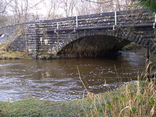 Ballygaddy Bridgebridge · 377 yd
 IndicatedEnclosure · 415 yd
 Ballygaddy Br.Bridge · 463 yd
 TobernalourHoly well · 710 yd
 European ashEuropean ash · 1540 yd
 CastleCastle, unclassified · 1.5 mi
 Mass RockNamed rock · 2.2 mi
 Fartamore Castle in ruinsCastle, tower house · 3.5 mi
 KnockmaaWood · 4.8 mi
 Kilcoona Round TowerHeritage attraction · 8.7 mi
 Ballinduff BayBay · 11 mi
 Walsh's IslandIslet · 12 mi