What is recorded here
It is a circular earthen fort with a wide bank, deep ditch and a hidden underground passage in the south-east, preserved under national law. The fairies may have been invented later to explain why the shape still feels occupied. A human hand built it, lived there and left the passage behind. The field boundaries changed, but the circle kept its own line.
The following description is derived from both the published 'Archaeological Inventory of County Louth' (Dublin: Stationery Office, 1986) and the 'Archaeological Survey of County Louth' (Dublin: Stationery Office, 1991). In certain instances the entries have been revised and updated in the light of recent research.
Date of upload/revision: 17 July 2007
Circular area (diam. 32m) enclosed by earthen bank (Wth 6.5m, H 1.2m externally) and external fosse (Wth 7m), with traces of outer bank, obscured by later field boundaries. Remains of Man-made underground passage (LH004-031002-) in SE quadrant of interior.
This monument is subject to a preservation order made under the National Monuments Acts 1930 to 2014 (PO no. 25/1976).
The monument record does not grant public access. Check the route and ask the landowner before entering private land.
- What survives
- Recorded monument
Places near here
 Man-made underground passage in AghnaskeaghMan-made underground passage · 10 yd
 Man-made underground passageFairy fort / earthen ringfort · 113 yd
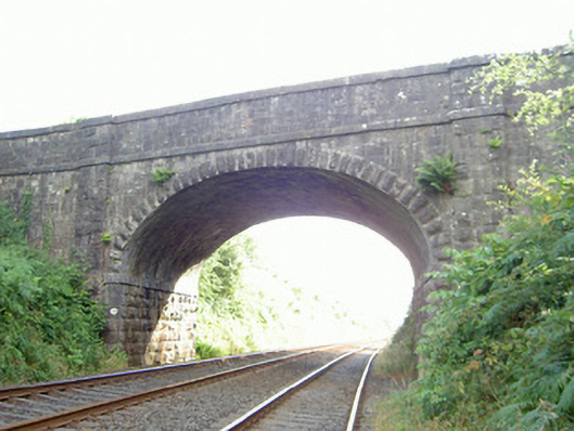 bridgebridge · 705 yd
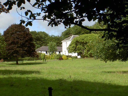 Aghnaskeagh Househouse · 830 yd
 Feede MountainMountain / peak · 1.0 mi
 Faughart MoundCastle, motte · 1.0 mi
 KILNASAGGART INSCRIBED PILLAR STONE & CEMETERY with 6 CROSS-CARVED STONES: CELL NA SACART in EdenappaKILNASAGGART INSCRIBED PILLAR STONE & CEMETERY with 6 CROSS-CARVED STONES: CELL NA SACART · 1.3 mi
 Moyry CastleCastle · 1.3 mi
 CASTLE & BAWN: MOYRY or MOIRY CASTLE in CarrickbroadCASTLE & BAWN: MOYRY or MOIRY CASTLE · 1.3 mi
 Battle of FaughartMajor battlefield · 1.3 mi
 Proleek DolmenArchaeological place · 1.5 mi
 SlievenaboleaMountain / peak · 1.5 mi