
What is recorded here
Under the grass of a Louth ringfort, a stone-lined tunnel still breathes though much of its roof has fallen. It runs east to west before bending south at the far end, a narrow dark chamber built by human hands and later abandoned to decay. Perhaps people stored grain, hid tools or prayed in that small underworld. The land kept the shape of their labour long after their names disappeared.
The following description is derived from both the published 'Archaeological Inventory of County Louth' (Dublin: Stationery Office, 1986) and the 'Archaeological Survey of County Louth' (Dublin: Stationery Office, 1991). In certain instances the entries have been revised and updated in the light of recent research.
Date of upload/revision: 17 July 2007
Situated in ringfort (LH004-031001-). Stone-lined depression, running E-W with slight turn to S at W end, located in SE quadrant of ringfort, is probably the remains of a partially collapsed Man-made underground passage.
This monument is subject to a preservation order made under the National Monuments Acts 1930 to 2014 (PO no. 25/1976).
The monument record does not grant public access. Check the route and ask the landowner before entering private land.
- What survives
- Recorded monument
Places near here
 Man-made underground passageFairy fort / earthen ringfort · 120 yd
 CairnCourt tomb · 576 yd
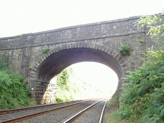 bridgebridge · 709 yd
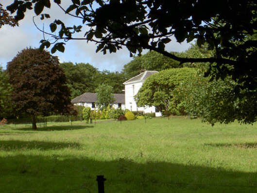 Aghnaskeagh Househouse · 821 yd
 Feede MountainMountain / peak · 1.0 mi
 Faughart MoundCastle, motte · 1.0 mi
 KILNASAGGART INSCRIBED PILLAR STONE & CEMETERY with 6 CROSS-CARVED STONES: CELL NA SACART in EdenappaKILNASAGGART INSCRIBED PILLAR STONE & CEMETERY with 6 CROSS-CARVED STONES: CELL NA SACART · 1.3 mi
 Moyry CastleCastle · 1.3 mi
 CASTLE & BAWN: MOYRY or MOIRY CASTLE in CarrickbroadCASTLE & BAWN: MOYRY or MOIRY CASTLE · 1.3 mi
 Battle of FaughartMajor battlefield · 1.3 mi
 Proleek DolmenArchaeological place · 1.5 mi
 SlievenaboleaMountain / peak · 1.5 mi
Other information
Photo: Credit not shown in the picture search · Rights wording not checked; contact us if this picture should be removed