What is recorded here
On a gentle NNE-facing slope in pasture. Not indicated on the 1837 or 1883 editions of the OS 6-inch map. A report in 1976 (SMR file) noted that this raised circular area (diam. 24.9m) was enclosed by a bank of earth and stone. It is defined by a scarp (H 0.2-1.1m). A modern NE–SW field boundary skirts the embankment from W–WNW–NW. The original entrance is not recognisable. The interior rises from the perimeter towards the centre. According to local information, the monument was used as a graveyard (LF018-058002-).
Compiled by: Patrick F. O'Donovan
Date of upload: 7 June 2013
The monument record does not grant public access. Check the route and ask the landowner before entering private land.
- What survives
- Recorded monument
Places near here
 Burial ground in AghnashinganBurial ground · 1 yd
 IndicatedFairy fort / earthen ringfort · 376 yd
 Bawn in BallyknockBawn · 777 yd
 Site of churchRuins · 1553 yd
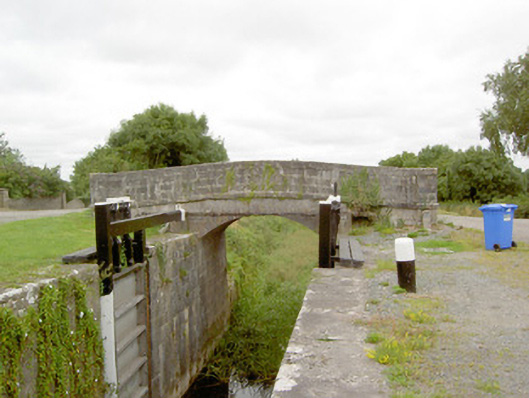 Coolnahinch Bridgebridge · 1682 yd
 CastleCastle, unclassified · 1.2 mi
 Corlea Bog Walk Blue LoopWalking route · 2.2 mi
 Corlea Bog Walk Canal BranchWalking route · 2.2 mi
 Corlea Trackway Interpretative CentreHeritage attraction · 2.3 mi
 Graveyard in Curry (ardagh By., Coolamber Ed)Graveyard · 3.3 mi
 White Sand WoodWood · 7.2 mi
 Wild birdsVisitor information · 7.3 mi