What is recorded here
Aghintober holds a 29-metre grass platform, edged by a shallow scarp and a wet fosse that still catches rain on the eastern slope. People called it a fairy fort, perhaps because the entrance has vanished and the boundary seems to belong more to water and imagination than human design. The platform may have served as a home, a boundary marker, or a place for ceremony before memory thinned. Whatever it was, it shaped the land enough to remain visible long after the hands that made it disappeared.
Situated on a gentle E-facing slope. This is a grass-covered circular earthen platform (diam. 29m) defined by a scarp (H 0.1m at NE to 0.45m at S) and a wet fosse (Wth 2.5-4m; ext. D 0.35m) S-W-NE, and a slight scarp (H 0.1m) elsewhere. The original entrance is not identified.
The above description is derived from 'The Archaeological Inventory of County Leitrim' compiled by Michael J. Moore (Dublin: Stationery Office, 2003). In certain instances the entries have been revised and updated in the light of recent research.
Compiled by: Michael Moore
Date of revised upload: 15 October 2019
The monument record does not grant public access. Check the route and ask the landowner before entering private land.
- What survives
- Recorded monument
Places near here
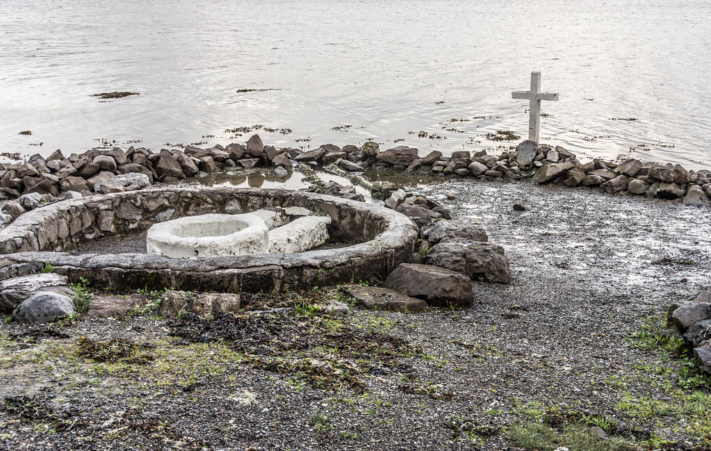 Holy well in AghintoberHoly well · 190 yd
 LismoyleFairy fort / earthen ringfort · 538 yd
 Drumsna National Schoolschool · 1.2 mi
 Declaration of IndependenceMemorial · 1.5 mi
 Catholic Church of the Immaculate Conceptionchurch/chapel · 1.5 mi
 Robert Strawbridge MemorialMemorial · 1.6 mi
 Wildlife AreaNature reserve · 1.9 mi
 CastlecarraCastle, unclassified · 2.5 mi
 Leabaidh DermotCave · 3.3 mi
 PortCastle, unclassified · 3.5 mi
 Moon RiverHeritage attraction · 3.8 mi
 Shannon-Erne WaterwayVisitor information · 3.8 mi