What is recorded here
Coniferous trees pierce the earthen bank of the Aghawillin ringfort, marking a forgotten boundary on the drumlin ridge. The steep grassy wall still stands beside its shallow fosse, preserving the shape of a home that predates written memory. People may have lived inside this circular space long before the trees arrived, watching the land through the eastern entrance while believing the fort belonged to fairies.
Located towards the N end of a N-S drumlin ridge. This is a grass-covered circular area (diam. 40.5m N-S; 40.3m E-W; int. diam. 34.3m E-W; 33.5m N-S) defined by a round-topped, steep-sided earthen bank (Wth of base 5.5-8m; int. H 0.7-1m; ext. H 2.8-3.4m) which is planted with coniferous trees, and an external fosse (Wth of top 6.6-9.m; Wth of base 2-3.5m; ext. D 0.4m S-W to 0.9m at N). An outer bank (Wth of base 2m; max. int. H 1.5m; ext. H 0.7m) exists only at S and is probably a field bank as it is separated from the fosse by a berm (Wth 1m). The entrance (Wth of base 4m) and causeway (Wth of top 3m) are at E (max. ext. diam. 57m N-S; 61.5m E-W).
The above description is derived from 'The Archaeological Inventory of County Leitrim' compiled by Michael J. Moore (Dublin: Stationery Office, 2003). In certain instances the entries have been revised and updated in the light of recent research.
Compiled by: Michael Moore
Date of revised upload: 14 October 2019
The monument record does not grant public access. Check the route and ask the landowner before entering private land.
- What survives
- Recorded monument
Places near here
 St. Patricks WellHoly well · 460 yd
 DrumbreanlisMountain / peak · 1155 yd
 European YewEuropean Yew · 1348 yd
 IndicatedEnclosure, large enclosure · 1359 yd
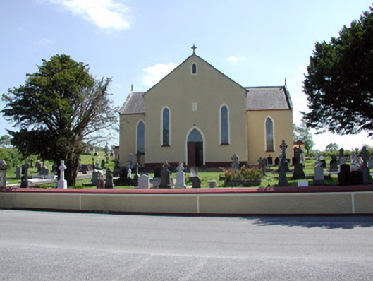 Saint Mary's Catholic Churchchurch/chapel · 1359 yd
 CornaferstMountain / peak · 1647 yd
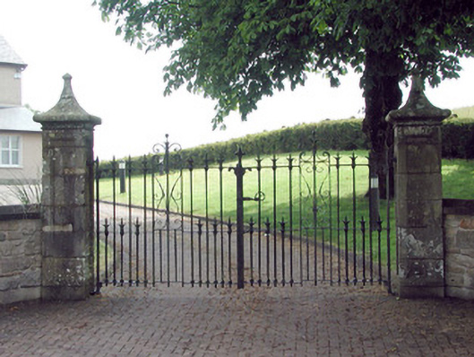 gates/railings/wallsgates/railings/walls · 1709 yd
 King's GraveArchaeological place · 1.9 mi
 Ticosker WoodWood · 2.7 mi
 North Midland Transport CollectionMuseum · 4.1 mi
 Bawn in CastlepolesBawn · 5.1 mi
 CastleBawn · 5.3 mi